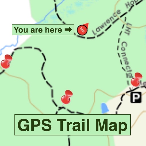
Navigate trails with detailed maps of 365+ systems and mud parks. View satellite imagery and add custom markers. Search for trails, cities, and points of interest. Record and share rides. Import trails in .kml, .kmz, and .geojson formats.
View groomed and closed runs with a clear trail map. Share real-time locations with friends and track their positions. Record runs, log vertical feet and distance, and sync with Apple Health for workout data.
Navigate with an interactive map to track routes for cyclists and runners. View local event updates and news. Receive real-time information about the .
View groomed and closed runs with a clear trail map. Share real-time location with friends and track their positions. Record runs, log vertical feet and distance, and sync with Apple Health for workout data. Display and replay recorded tracks.
Find and explore walking, hiking, jogging, and outdoor fitness trails with detailed maps, GPS navigation, and trail guides. View user reviews, photos, and expert tips. Plan routes and track progress with real-time location updates.
Plan trips with offroad and trail data. Access offline GPS navigation and camping locations. Find fuel and water resupply points. Connect with local users and join events. Track routes and share trip details.
Plan routes for hiking, cycling, cross-country skiing, and ski-alpine trails. View elevation profiles and 5-day weather forecasts for any location. Explore global tourist maps with trails, paths, and hillshade terrain.
View trails and routes for snowmobiling and ATV/UTV use. Locate points of interest and local events. Check closures and openings. Post updates and events through affiliated clubs. Navigate outdoor trails with real-time location tracking.
Automatically generate round-trip routes based on distance preferences. Manually create custom routes prioritizing nature, water, or well-lit paths. Avoid busy roads and hills. Export routes in GPX or KML formats for use with mapping apps.
Offers GPS-triggered for landmarks and attractions. Users can access expert-curated content offline. include locations like Jackson Hole and New Orleans. plays automatically as users approach each site.
Explore trails with detailed maps and real-time trail conditions. Filter hikes by accessibility, pets, and difficulty. Save favorite trails for offline access. View closure alerts and required permits.