GPS Trail Map app icon

Apps Like GPS Trail Map for iPhone and iPad

by Peter Kramer★ 5.02 ratingsTravelFreeData updated 2026-10-17

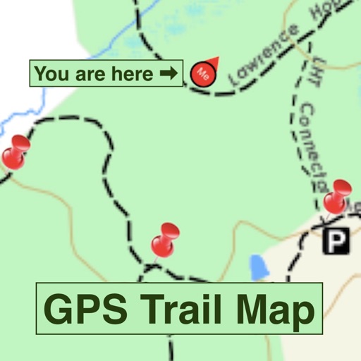
GPS Trail Map screenshots

Ranked alternatives

Showing 481–500 of 1,000 ranked alternatives.

  1. Ox Hill Battlefield Tour Guide app icon

    Ox Hill Battlefield Tour Guide

    American Battlefield Trust

    Explore sites and trails with GPS guidance

    Explore points of interest using GPS-enabled navigation. Learn about the history of the Battle of Ox through detailed descriptions and multimedia content. Access interpretive trail information and additional historical context about the site.

    ★ 5.03 ratingsEducationFreeData updated 2026-09-26
  2. San Francisco, app icon

    San Francisco,

    PocketGuide Inc.

    Discover San Francisco's urban jungle.

    The app provides audio tours of San Francisco, detailing attractions like sea lions, parrots, and cable cars. It functions offline, offering maps and reviews to guide users through the city's sights and dining options.

    ★ 4.01 ratingsTravelFreeData updated 2026-09-27
  3. MV Tours: Walk Through History app icon

    MV Tours: Walk Through History

    Museums Board of Victoria

    Explore Melbourne's rich historical journey.

    The app offers walking tours of Melbourne's history, featuring over 700 images and 90 audio recordings. GPS-enabled maps guide users through city centre, heritage, and industrial sites, revealing stories of transformation.

    ★ 3.01 ratingsTravelFreeData updated 2026-10-19
  4. Creole Nature Trail app icon

    Creole Nature Trail

    SOUTHWEST LOUISIANA CONVENTION & VISITORS BUREAU

    Explore trails and capture wildlife

    Explore the with interactive maps and guides. View wildlife species information, including mammals, birds, and fish. Track your journey with GPS navigation and save favorite spots. Receive real-time updates on conditions and wildlife sightings.

    ★ 3.719 ratingsTravelFreeData updated 2026-09-08
  5. iHikeGPS NZ : LINZ Topo Maps app icon

    iHikeGPS NZ : LINZ Topo Maps

    James Associates Inc.

    Track routes, view , navigate outdoors

    Record and view hiking tracks with detailed topographic . Navigate routes using GPS coordinates. Mark waypoints and save locations. Display elevation changes and compass direction. Sync with Apple Health for activity tracking.

    ★ 5.02 ratingsNavigation$2.99Data updated 2026-10-31
  6. NaturistConnect app icon

    NaturistConnect

    Nicolas Rios

    Find naturist spots and view locations nearby

    View an interactive world map with verified naturist locations including beaches, resorts, hot springs, spas, saunas, and campsites. Use GPS to find nearby spots and access details like coordinates, nudity guidelines, amenities, and access notes.
    ★ 4.117 ratingsTravelFreeData updated 2026-09-06

How we rank alternatives

Apps are ranked by functional similarity, category fit, rating confidence, and popularity.