
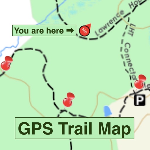
Apps Like GPS Trail Map for iPhone and iPad
GPS Trail Map screenshots
Ranked alternatives
Showing 201–220 of 1,000 ranked alternatives.


Trails LA County
Trailhead Labs, Inc.
Navigate with accurate maps
View trail maps and park locations with real-time navigation. Search for curated outings and trail descriptions. Access photographs and helpful trail information. Plan routes and track progress on multi-use across Los Angeles .


Where2Go: GPS Photo Compass
Pavel Vorontsov
Navigate with GPS and saved points
Navigate using a GPS to any saved location. Save current position, input coordinates manually, or extract GPS from photos. View saved points history and export coordinates to Google or Apple Maps.

TOTAGO: Maps, Parks & Trails
OPENPLANIT LLC
Explore , bike routes, and hiking paths
Find hiking , bike routes, and nature spots in major cities. Get turn-by-turn directions by foot, bike, car, or public transit. Download maps and guide content for offline use.





POI MAP - Your Private Places
IIC Innovative International Consulting GmbH & Co. KG
Save locations with GPS coordinates
Save locations with GPS coordinates, add notes, images, and contact details. Store privately and automatically retrieve web data. Create entries by selecting current location or entering coordinates.


GPS Data Smart
ExaMobile S.A.
Track altitude, speed, and location
Track altitude, elevation, and GPS coordinates. Monitor speed in km/h or mph. View compass direction. Check GPS signal quality. Log location for outdoor activities like running, mountaineering, or traveling.


How we rank alternatives
Apps are ranked by functional similarity, category fit, rating confidence, and popularity.