Apps Like Jumper - Cliff Jumping for iPhone and iPad
Find jumps, share locations, explore maps
Navigation allows users to locate spots globally. Share and discover locations with others. View detailed information including photos, descriptions, jump heights, and hazard warnings. Search by location or radius. Tap markers for additional details.
by Derek Vandermark★ 4.764 ratingsNavigationFreeData updated 2026-10-13
Navigate using real-time traffic data and turn-by-turn directions. Search for locations and save favorites. View maps with satellite and street views. Share current location with contacts. Receive notifications for nearby points of interest.
Save and organize locations from Instagram and TikTok . Share to to create a list of to visit. View and manage saved locations with images and videos. Export or share saved locations for future reference.
The app allows users to breed horses, ponies, donkeys, or unicorns. Users can groom, train, and equip their horses for competitions to win trophies and climb leaderboards.
Access GPS navigation and land ownership data for fishing. Locate lakes with detailed fisheries information. View satellite imagery and apply filters for ice fishing. Find trails, access points, and land ownership details.
Navigate with turn-by-turn directions and real-time traffic updates. Search for routes and points of interest offline. Explore guides and articles about culture, food, and transportation. Plan trips with recommended itineraries and local tips.
Play a with realistic wave physics and improved surfer animations. Choose from real spots like Snapper Rocks and Teahupoo. Unlock additional locations via add-ons. View ads to restore broken surfboards or purchase in- items.
Track runners' predicted locations on a map using official race timing data. View estimated arrival times at specific points. Receive notifications when runners pass nearby. Share real-time updates with friends or family.
IIC Innovative International Consulting GmbH & Co. KG
Save locations with GPS coordinates
Save locations with GPS coordinates, add notes, images, and contact details. Store privately and automatically retrieve web data. Create entries by selecting current location or entering coordinates.
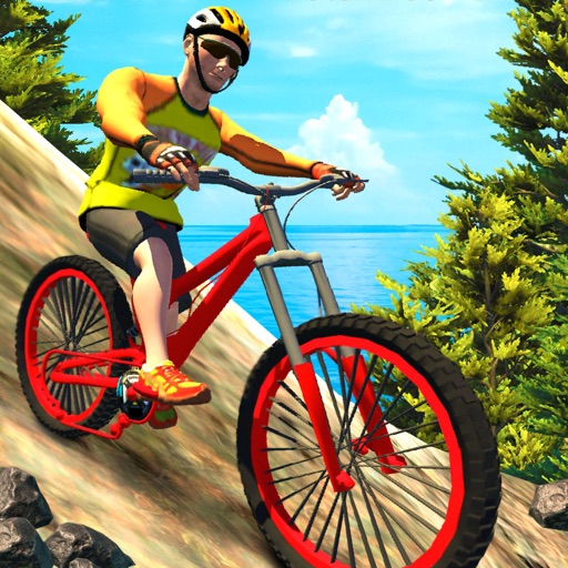
Ride bicycles on 15 unique maps with varying terrain and weather conditions. Choose from 4 MTB models and customize bikes with unlocked items. Complete checkpoints to finish levels. Explore a large free ride map.
Check weather, wind, wave, and tide for any offshore location up to 16 days in advance. Save unlimited favorite points for quick access. Track real-time conditions and plan ocean activities.
Explore attractions in selected U.S. or Canadian regions. View detailed descriptions, photos, and local tips. Navigate to nearby sites using maps. Purchase additional regions for expanded access. Save favorite spots and plan routes offline.
Use AR to locate parked cars 3D navigation. Tap "I parked here" to save locations quick or detailed GPS settings. Follow AR arrows for precise directions back to vehicle. Save new spots as needed.
Provide scientifically calculated forecasts for specific fish species and locations. Track solunar cycles to determine optimal times. Share real-time weather data and fish behavior patterns to improve catch rates.
Find fishing spots and learn about fish species in specific locations. Share and discover locations with other users. Search for spots by water type and view fish species information. Pin locations on a map and share them with the community.
Record sessions with detailed notes and track progress over time. View session timelines, review session details, and analyze improvements. Add boating equipment details to categorize sessions and monitor performance.
Track paddles, share experiences, connect with SUP
Track paddles and analyze performance with detailed session data. Share SUP experiences and connect with a global community. Search the map for new spots and routes. View session history and compare performance metrics.
Calculate in time using GPS location. Access worldwide marine charts and 15000+ tide and current spots. No internet connection required. View tidal data without entering coordinates.