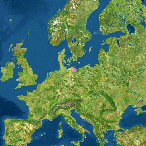
Navigate with a 3D topographic map of the USA. View detailed terrain and vector data offline. Use in vehicles or during outdoor activities. Access global maps online with automatic caching for offline use.
View 3D topographic maps of offline with vector data. Navigate by car, boat, plane, or on foot. Access worldwide satellite maps online with automatic caching. Toggle between map types and zoom to any location.
Navigate with real-time alerts and driving tracking. Access both online and offline modes. Free version updates every 3 seconds. Paid version enables recommended offline mode and faster updates up to 3 times per second.
The app provides access to Thailand's largest crowdsourced POIs information. Users can add businesses, view traffic information, traffic cameras, and air quality data.