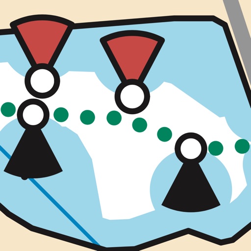
Locate position in Wismar Bay and Bay of Greifswald. Display sensitive areas and boating rules within Natura 2000 zones. Show real-time status of protected area boundaries.
by WWF Deutschland★ 0.00 ratingsNavigationFreeData updated 2026-10-09
Navigate using high-resolution satellite imagery for Bay and Copper River watersheds. Access updated for accurate route planning. View real-time environmental changes. Mark and save fishing spots. Share locations with crew members.
Access real-time sea surface temperature maps, high-definition satellite imagery, and marine weather . Track water color, currents, tides, and moon phase. Mark and save GPS locations for temperature breaks and color barriers.
Browse interactive maps to locate points of interest. Search for hunting, fishing, and trapping regulations. Submit reports to state agencies. Access policy information and outdoor activity details.
The app provides weather data from NOAA's National Data Buoy Center, including tide predictions and moon phases. It allows users to view buoy data, save selected, and access location-specific forecasts for planning water activities.
Plan and navigate boating trips with real-time tracking and high-resolution digital charts covering the US, Europe, and other regions. View vector charts with tappable buoys and lights. Pan and zoom seamlessly across maps.
Manage waypoints by creating, storing, editing, and organizing them. View detailed fishing maps for accurate charting. Sync data with devices. Log favorite fishing spots and plan trips. Share waypoints across devices.
Search for spots using natural language queries. Get confidence-scored recommendations for locations based on weather and historical data. View NOAA waypoints with 7-day forecasts and weather predictions.
Find fishing using detailed with depth and clarity layers. View real-time reports and set custom waypoints. Access tackle recommendations and shop over 25,000 products. Earn 10% credit back on purchases.
Find , rest areas, truck stops, KOAs, campgrounds, and RV parks across the US and Canada. View locations offline. Update locations via crowdsourced input. Purchase once for permanent access. No subscription required.
Access boating information with detailed charts, graphs, and illustrations. Look up formulas, safety guidelines, and equipment specifications. Search for content by topic or use the table of contents. View 800+ images and diagrams for visual .
Navigate with high-resolution structure maps showing underwater features like drops and ledges. Access real-time data and track fish locations. Plan trips with detailed maps and explore new waters. Share locations and mark favorites for future trips.