Navigate using high fidelity airport maps and enroute displays. Access aeronautical data for flight planning. Streamline operations with integrated electronic flight folders. Monitor fuel efficiency and situational awareness during flights.
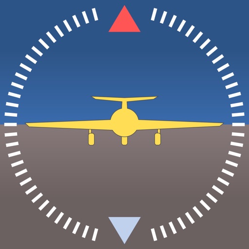
The app provides a photo-realistic aircraft Artificial Horizon indicator for iPhone. It features resettable zero and smooth, realistic movement, with improved graphics and landscape mode in the latest version.
Calculate helicopter weight and balance by entering load data. Check against type-specific CG limits and load station constraints. View graphical displays of weight distribution. nd send mission manifests via email.
Comprehensive flight planning for aviation professionals.
The app provides flight planning capabilities with an extensive database of waypoints and airfields. It offers VFR and IFR planning, graphical weight and balance, and NAIPS access for weather and NOTAMs.
The app provides flight planning for New Zealand with a waypoint database and VFR/IFR planning. It includes graphical weight and balance, and displays routes on a Google Earth map.
Simulate flights in a realistic cockpit environment. Choose between the Boeing 777-300ER and Bombardier C Series. Replay landings from multiple perspectives. Explore Zurich Airport and surroundings in detail.