Measure angles and level machines using Bluetooth connectivity. Perform 2-axis simultaneous levelling and 2D alignment. View 360-degree bubble for precise adjustments. Sync with Cube for real-time feedback.
Control aircraft using click & go flight and joystick functions on an iPad. Preset flight courses and manage missions through the control software. Supports Bluetooth 4.0 iPad devices for wireless operation.
Manage your account by applying for a free phone and service. Track data usage, check balances, and monitor account status. Receive alerts for low balance or service issues. View and manage eligible benefits.
™ turns a mobile device into a control for computers. It includes a cross-device clipboard for text and image transfer. Users can navigate with a virtual , keyboard, and touchpad. Specialized control panels allow precise device management.
Control your Mac or PC with an iPhone, , or iPod. Use simulated touchpad and keyboard functions. Access panels for media playback, file transfers, and presentation controls.
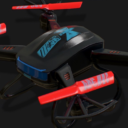
Control drone flight with touch or voice commands. Capture 4K video and photos with a 3-axis stabilized camera. Adjust settings for exposure and focus. Use distance vision sensor for safe navigation. Stream live footage and transfer files directly.
Control and monitor 2-axis digital levels via Bluetooth. Perform simultaneous levelling and angle measurement. Conduct 2D alignment tasks remotely. Adjust settings and view real-time data on the mobile device.
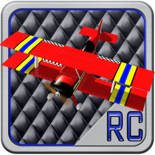
Fly and control an through a realistic countryside scenario with 3D graphics. Perform stunts in environments like barns and windmills. Purchase game modes and planes from an in-game store. Track progress through various locations and challenges.
Track magnetic fields and detect ferromagnetic metals
Detects magnetic fields and ferromagnetic metals using the iPhone's compass. Issues a warning beep when magnetic fields are present. Identifies devices emitting radio-frequency EMF such as plugs, cell phones, and routers.
Access real-time weather radar and wind maps to plan flights . View rain radar and no-fly zone data. Check wind patterns and atmospheric conditions. Navigate flight areas with accurate geographic insights.
Simulate and customize solar systems by adjusting orbits, sizes, and speeds. Add rings, satellites, and rotational axes. Save up to 100 unique solar system configurations.