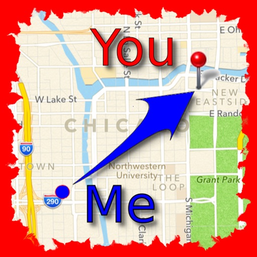
The app allows users to find friends by showing their current direction and distance to the friend's last known location. Users can label and store locations, then find directions and distance to them.
The app displays the exact opposite side of the world from a selected location. It provides latitude and longitude for both locations and shows them on a map.
Capture photos with built-in compass and location data. Display cardinal direction and precise coordinates within images. Export photos with embedded metadata. Sync with organizational systems for photo management.
Display custom location data such as POI, parcels, and GIS layers on Bing Maps or OpenStreetMap. Upload and manage aerial imagery. Deploy to the cloud for scalable and secure data hosting.
Measure distances and areas on maps by tapping points. Switch between metric and imperial units. View precise measurements for property, routes, or land.
Plan and navigate U.S. Parks with detailed maps and offline access. Explore trails, campgrounds, and points of interest. View operating hours, fees, and boundaries. Download complete content for use without internet.