Save locations with names and map previews. Add places manually, from contacts, or via shared map links. Navigate to saved locations and view detailed maps. Organize and revisit favorite spots efficiently.
Locate and navigate to graves of Tzadikim and Rabbanim in real time. Choose between miles or kilometers. View locations of over a thousand graves across Israel, Europe, Morocco, North Africa, and the Middle East. Search by country or region.
The app provides digital maps of Austria with hill shading and object names. It includes topographic maps and offers functions like searching by name or coordinates, GPS features, and measuring distances.
Measure areas using GPS or manual map points for accurate calculations. Switch between and distance modes. Save measurements for later access. Use compass navigation for directional guidance.
The app provides professional maps for outdoor activities like hiking and cycling. It offers offline map storage, GPS tracking, and access to certified tours with detailed descriptions for planning adventures.
Navigation displays a compass with arrows indicating directions to stored locations. Users can view coordinates and distances to these places. Record routes for later reference or to retrace steps.
The app displays current heading, course, speed, coordinates, and altitude. It offers street, topographic, and aerial maps, with cached maps available for a day.
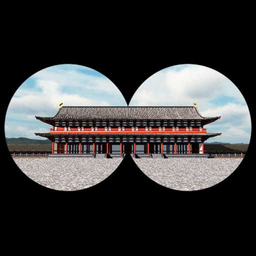
The app provides a time travel experience in Kyoto, recreating the Imperial Court Compound of the Heian Era. Users can explore 360-degree scenes of ancient Kyoto based on their location and orientation, with detailed descriptions of buildings.