Access real-time risk maps to identify threats in specific areas. Identify insect species and receive safety recommendations. View seasonal forecasts and 7-day predictions for disease risk.
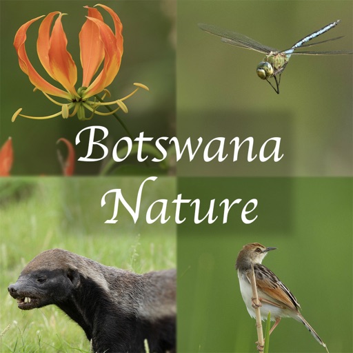
Identify birds with detailed species profiles, sounds, and distribution maps. View photos, call recordings, and habitat information. Search by name, location, or characteristics. Download and test with 100 bird samples.
The app details the identification of all 47 recorded dragonfly and damselfly species in Britain and Ireland. It includes color photos, identification charts, species profiles, and information on biology and habitats.
Identify butterflies across all life stages and distinguish from look-alikes. Learn about milkweed species and their role in development. Report sightings to contribute to scientific research.
Helps users calculate measurements with fraction, decimal, and board foot tools. It includes a library of 31 species with images and properties. Features also cover lumber grades, grain orientation, joinery types, and guides for adhesives and screws.
The app identifies clouds using the International Cloud Atlas classification. It provides detailed descriptions and pictures of cloud types, along with weather forecast information.