

Apps Like Light Pollution Map for iPhone and iPad
View VIIRS data and track
View VIIRS and DMSP satellite data with customizable overlays including clouds, auroras, and IAU observatories. Display SQM and SQC measurements for . Add personal SQM readings via email. Track radiance changes over time.
Light Pollution Map screenshots
Ranked alternatives
Showing 561–580 of 1,000 ranked alternatives.


Aurora Rover
1000865576 Ontario Inc
Navigate and manage high-density routes
Manage field service tasks with real-time route optimization and high-density scheduling. Track job progress, communicate with customers, and access work orders offline. Log time and expenses directly from the field.


ATLAS Access
TKH Security B.V.
Manage and control doors remotely
Manage building through mobile devices. Create and control user profiles with permissions. Monitor and adjust settings remotely. Ensure phone data security and customize options for different doors.


OldPic Agent
Sang Hyun Jun
Edit photos with frames and filters
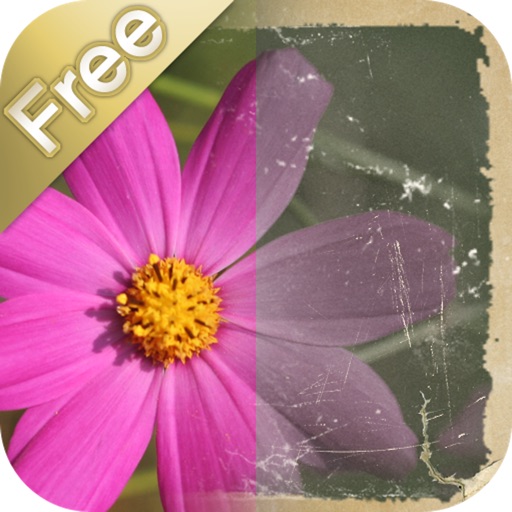
Edit photos with detailed controls including frames, filters, contrast, brightness, and saturation. Adjust images to create a classical atmosphere. Apply effects and save changes to the device's photo album.


iStellar
AstroArts Inc.
Explore stars, zoom, and navigate the sky
View the night sky from any location and time. Rotate and zoom the star chart using multi-touch gestures. Identify over 16,000 stars with names for 254. Simulate atmospheric distortion and twinkling effects.

How we rank alternatives
Apps are ranked by functional similarity, category fit, rating confidence, and popularity.