
Compass++
KleinCodes, LLC
Compass altitude ruler and map
The app provides a compass, altitude display, ruler, and map. It is designed for both expert and beginner explorers.

Navigate with accurate GPS and coordinates
Display GPS coordinates in DMS, DDM, or DD formats. Show altitude in feet or meters. Track speed with a speedometer. Share coordinates. Switch between magnetic and geodetic north. Use flashlight for nighttime. Provide location data.
Showing 101–120 of 1,000 ranked alternatives.
KleinCodes, LLC
Compass altitude ruler and map
The app provides a compass, altitude display, ruler, and map. It is designed for both expert and beginner explorers.

NETIGEN KLUZOWICZ SPOLKA JAWNA
Navigate with a realistic virtual
A displays cardinal directions and uses GPS to determine location. It features a realistic virtual interface, shows geographical directions, and helps users navigate effectively.

Elen Bekzadyan
Track orientation with real-time compass data
Provides real-time device orientation based on magnetic fields. Allows switching between true and magnetic north. Displays compass direction and azimuth. Includes declination information. Offers tilt sensitivity settings.

Void Stop Pty Ltd
Access iPhone GPS functionality and more.
The app displays current heading, course, speed, coordinates, and altitude. It offers street, topographic, and aerial maps, with cached maps available for a day.


VERVE TECHNOLOGIES PTY. LTD.
Swap coordinates and calculate
A calculator for industrial engineers. Displays large numbers for field use. Swaps x and y coordinates for different input ranges.

Nicolas Gustavo Melian
Set custom coordinates
Change by dropping pins on a map. Edit GPS coordinates and add custom elevation data. Spoof with photo capture and share fake locations that appear real. Save unlimited custom spots and export as KML files.

Pimjana Kwanpraekaew
Track and coordinates
Track current with coordinates, altitude, and address. via Facebook, Twitter, Mail, Message, or copy to paste elsewhere. Use compass mode to determine direction. Toggle between Standard and Hybrid map types.

NYANKO SOFTWARE
Point your device to see mountain details
Point your device at a mountain to see its name, altitude, and distance. Identify peaks in a 360-degree AR view. Access data for nearly one million peaks worldwide. Uses 3D coordinates and gyroscope for accurate display.

Miroslaw Kapalka
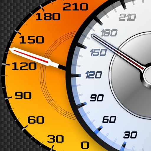
View supercar and engine
Track vehicle speed using GPS or simulation mode. View detailed speedometer displays with realistic graphics. Hear authentic engine during acceleration. Explore speed data from popular supercars.

Applorium Ltd
Calculate distances and areas on a map
Calculates distances between map points and areas of non-overlapping polygons. Users can switch between metric and imperial units. Coordinates are displayed in decimal or degrees, minutes, and seconds.

Tigran Mkhitaryan
Navigate with -grade GPS tools
Navigation provides GPS tracking, map navigation, and route planning. Includes tools, field manuals, and live conflict updates. Users can access guides, track locations, and receive real-time news.

VisTech.Projects LLC
Measure distance area perimeter on map
The app measures distance, area, and perimeter on a map using manual input or GPS tracking. It allows users to label, save, and share points in KML format, and check bearing and geo-coordinates.

SERGEI BEZDENEZHNYKH
Save routes, create tracks, share locations, mark
Plan routes and save them for future use. Create and manage tracks with waypoints. Share routes with friends. Download maps for navigation. Mark locations and export tracks in GPX format. No ads and no time limits for use.

SHIGETO TAKAGI
Track position and sea level with GPS
Displays current position via GPS with a map and sea level measurement in meters. Converts meters to feet using a calculator. Measures barometric pressure with a sensor for altitude tracking. Alerts for potential flooding.


Unicom TOV
Track speed, limits, and weather
Display current speed using GPS and show speed limits via online checks. Alert when exceeding speed limits. Track weather, temperature, odometer, altitude, and average/max speed.


MOHAMMED AL OTAIBI
Calculate prayer times with flight data
Calculate prayer times during flights using waypoint coordinates and altitude. Determine prayer times en route with ground speed and track data. Sync with flight plans for accurate timing.
Apps are ranked by functional similarity, category fit, rating confidence, and popularity.