

Apps Like Compass Ω for iPhone and iPad
Navigate with accurate GPS and coordinates
Display GPS coordinates in DMS, DDM, or DD formats. Show altitude in feet or meters. Track speed with a speedometer. Share coordinates. Switch between magnetic and geodetic north. Use flashlight for nighttime. Provide location data.
Compass Ω screenshots
Ranked alternatives
Showing 441–460 of 1,000 ranked alternatives.
iStereo70
Cristinel Bontas
Convert Romanian map coordinates easily.
The app converts Stereo70 coordinates to WGS84 (ETRS89) or vice versa. It allows users to check locations on a map and offers features like saving locations and dark mode.

Oga App
Intellims Limited
Track work hours with GPS coordinates
Tracks work hours using LBS/GPS coordinates to record clock in/out times. Generates attendance and payroll timesheets based on location data. Provides proof of work hours with timestamped logs. Syncs location data to create accurate timesheets.


Metal Detector PRO - Meter
Jose Bello
Detect objects with your device
Detect objects using the magnetometer. Identify nearby ferromagnetic items like wires, pipes, and keys. Locate magnetic fields and hidden wood studs in walls. Move the device to track changes in magnetic readings.

B4i - Coordinates Calculator
Erel Uziel
Navigational calculator for coordinate conversion.
The app converts between UTM and Lat/Lon coordinate systems and supports different datums and formats. It displays current navigational information and can send locations via SMS or email, featuring text-to-speech and an animated compass.

Sure - Car Locator with AR
lijia xu
Find and follow saved locations AR
Navigation allows users to save locations using the red cross on a map. Users can retrieve saved locations by following a red arrow in Augmented Reality.

Star GPS
margaret kovatch
Displays location, direction, and speed.
The app displays the user's current location, direction, and speed. It also determines the closest address with coordinates.

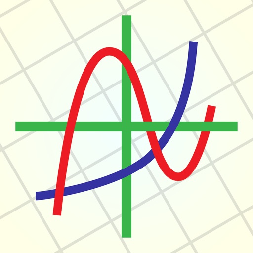
EzyGraphs
Hoang Khanh Nguyen
Graph, analyze, and customize equations
Create and analyze mathematical graphs with precise notation display. Edit graphs with color and line style customization. Find coordinates, intersections, and key points like zeros and extrema. Perform domain analysis and use an intuitive keyboard.
Renault Dashcam
Falcon Electronics Prod
Control recording, adjust settings, manage files
Control recording settings and camera functions via WiFi. Manage files on the SD card. Overlay date, time, GPS coordinates, and speed on videos. View and share recorded footage.


NewMile
Dauber Applications, Inc.
Manage loads and track job sites
Manage dump truck fleets with a message-based interface for coordinating load pickup and drop-off. Navigate to job sites using preferred apps. Capture tickets when required and review completed loads or add missing ones.


Field Area Measure on GPS Map
Dhara Hingu
Land, calculate , track GPS points
Land, fields, and property using GPS or manual input. Place markers on the map or walk boundaries to calculate , distance, and perimeter. Choose units like square meters or square feet. Save and share measurements.

MagnetMeter
Peter Breitling
Visualize magnetism in three dimensions.
The app visualizes magnetism in three dimensions using the iPhone's magnetometer. It can be used to explore magnetic fields, detect metal, and estimate north-south position without GPS.
How we rank alternatives
Apps are ranked by functional similarity, category fit, rating confidence, and popularity.