Monitor with real-time hurricane, typhoon, and tropical storm tracking. View animated satellite and radar imagery for the US. Access marine weather data and UV index. Receive alerts for tornadoes and severe thunderstorms.
View current and forecasted with hyperlocal accuracy. Check hourly updates, radar maps, and severe alerts. Customize widgets for quick access. Track air quality and UV index. Share data with friends.
View real-time satellite and radar imagery for . Track hurricanes, typhoons, and tropical in Atlantic and Pacific oceans. Receive severe thunderstorm and tornado alerts in the US. Access UV index, marine data, and animated forecast charts.
Check current and upcoming weather forecasts for up to 8 stored locations. View hourly and daily forecasts, radar, satellite, and charts. Receive hazardous weather alerts and snowfall predictions. Access air quality and ultraviolet indexes.
Provides local forecasts for every U.S. city and territory. Displays daily and hourly updates created by real meteorologists. Uses data and technology for accuracy. Shows reasoning behind forecasts instead of just predictions.
The app provides 15-day and hourly weather forecasts, severe weather alerts, and radar images. It includes air quality, earthquake data, and tide predictions.
View real-time and flow data from USGS and AHPS networks. Receive push notifications about gauge flood status. Access weather prediction center charts. Interact with a map showing hydrological observations and water level information.
Check current and extended forecasts with 16-day daily and 400-hour hourly data. View interactive maps showing temperature, rain intensity, and cloud coverage. Customize widgets and receive real-time notifications for weather updates.
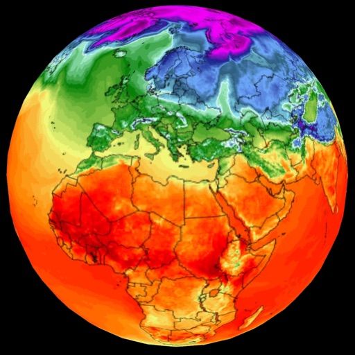
The app provides news and simulations on global warming, modeling land, air, and sea surface temperatures. It forecasts Ozone concentration, Aerosols, and Sun Activity, and analyzes factors driving global warming.