
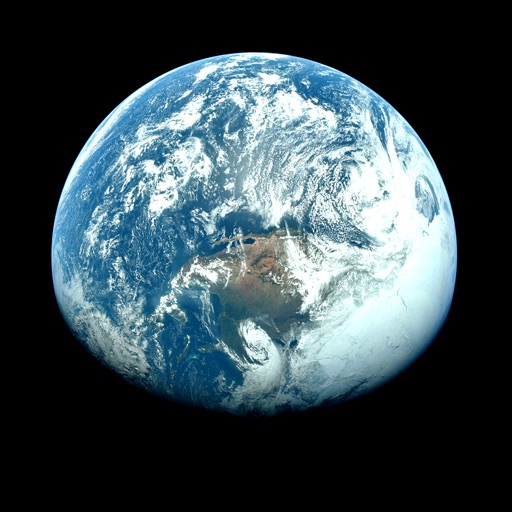
Apps Like Orbiter - Earth Visualizer for iPhone and iPad
View satellite images and time-lapse overlays
View satellite imagery and time-lapse data to analyze features. Compare images using an A/B slider. Visualize environmental data like air pollution, vegetation, and sea ice. Explore unfiltered satellite views from the ESA’s Sentinel-2 satellites.
Orbiter - Earth Visualizer screenshots
Ranked alternatives
Showing 961–980 of 1,000 ranked alternatives.




Hurricane Track - NOAA Doppler
Mach Software Design
Hurricane tracking and local weather.
The app provides hurricane tracking, radar, and local weather information. It features global and local radars, textual forecasts, projected and historic tropical cyclone paths, and sea temperatures.

FP5000 AUS LITE
Rob Slater
Comprehensive flight planning for aviation professionals.
The app provides flight planning capabilities with an extensive database of waypoints and airfields. It offers VFR and IFR planning, graphical weight and balance, and NAIPS access for weather and NOTAMs.

FP5000 NZ LITE
Rob Slater
New Zealand flight planning for pilots.
The app provides flight planning for New Zealand with a waypoint database and VFR/IFR planning. It includes graphical weight and balance, and displays routes on a Google Earth map.


How we rank alternatives
Apps are ranked by functional similarity, category fit, rating confidence, and popularity.