Apps Like Orbiter - Earth Visualizer for iPhone and iPad
View satellite images and time-lapse overlays
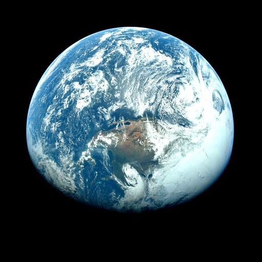
View satellite imagery and time-lapse data to analyze features. Compare images using an A/B slider. Visualize environmental data like air pollution, vegetation, and sea ice. Explore unfiltered satellite views from the ESA’s Sentinel-2 satellites.
by Rayner Software★ 4.657 ratingsTravelFreeData updated 2026-09-29
The app offers a powerful browsing tool for countries and their capitals and flags. It includes over 300 flags and up-to-date data, with listing options by region and statistics for total area and population.
View the current phase with details like phase name, illumination percentage, and age. Explore a visual for the entire month. Track upcoming events and full dates. Share phase information with others.
Access real-time weather data and forecasts tailored for pilots. View current observations, radar, and satellite imagery. Track convection, cloud bases, and pressure changes. Receive meteograms for global weather insights.
The app presents synoptic, significant weather, wind, temperature, thunderstorm forecast charts, and satellite maps. Users can save charts, email them, or use the Trip Kit function for offline viewing.
The app uses augmented reality and artificial intelligence to show real-time rainfall. It provides rainfall notifications and forecasts, with 2D map, 3D AR, and Satellite Eye views.