
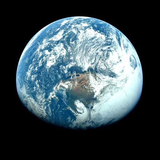
Apps Like Orbiter - Earth Visualizer for iPhone and iPad
View satellite images and time-lapse overlays
View satellite imagery and time-lapse data to analyze features. Compare images using an A/B slider. Visualize environmental data like air pollution, vegetation, and sea ice. Explore unfiltered satellite views from the ESA’s Sentinel-2 satellites.
Orbiter - Earth Visualizer screenshots
Ranked alternatives
Showing 741–760 of 1,000 ranked alternatives.






Thai Weather
Thai Meteorological Department
Weather reporting for Thailand official
The app provides current weather conditions, forecasts, storm tracks, and earthquake information for Thailand. It also includes radar, satellite photos, pressure maps, and user-submitted weather reports with photos.


Cloud Map
Stephen Pacheco
Check NOAA weather station satellite images.
The app displays 120 NOAA weather station satellite images for cloud cover. Users can find nearby stations using GPS and save selected stations for quick access.

Blue Map
Institute of Public and Environmental Affairs
Track weather and environmental data
Access real-time air and water quality data for locations in China. View maps with environmental layers, search for pollution sources, and track changes over time. Share data and save custom locations for monitoring.




Aviation weather
Udo Riedel
Pocket weather briefing for pilots.
The app provides aviation weather information, including METAR, TAF, and SIGMET data. Users can view current weather on a map and access most data offline for use during flights.


Pwoteksyon Sivil Ayiti
SIGNALERT
Report sightings and share alerts
Locate and share incident sightings with photos. Answer questions about event intensity and impacts on people, property, environment. Alert others and contribute to disaster monitoring.
How we rank alternatives
Apps are ranked by functional similarity, category fit, rating confidence, and popularity.