
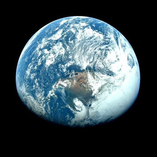
Apps Like Orbiter - Earth Visualizer for iPhone and iPad
View satellite images and time-lapse overlays
View satellite imagery and time-lapse data to analyze features. Compare images using an A/B slider. Visualize environmental data like air pollution, vegetation, and sea ice. Explore unfiltered satellite views from the ESA’s Sentinel-2 satellites.
Orbiter - Earth Visualizer screenshots
Ranked alternatives
Showing 641–660 of 1,000 ranked alternatives.



Scenic Map Eastern Canada
Mark Granger
3D topographic map of Eastern Canada
The app presents a 3D topographic map of Eastern Canada. Users can download map data for use without an internet connection, suitable for various travel methods.

St. Cloud Live StormTRACKER
Forum Communications Company
Track severe weather in real time
View current weather updates multiple times per hour. Access high-resolution satellite imagery and 250-meter radar. See future radar for severe weather direction. Add and save favorite locations. Use integrated GPS for location-based forecasts.




cycRad
SDS Weather LLC
Track storms, view radar, and monitor weather
View high-resolution radar data to track precipitation and storms. Access real-time weather station updates. Follow storm chasers for live storm tracking. Receive alerts for severe weather conditions. Share radar images and weather data with others.



Scenic Map Western Canada
Mark Granger
3D topo map of Western Canada
The app provides a 3D topographical map of Western Canada. Map data downloads to the device for use without an internet connection, allowing users to view terrain features as small as ten meters.


Hurricane Track+ Storm Tracker
Mach Software Design
Hurricane tracking and radar application.
The app provides 18 world radars and a local radar with NEXRAD technology. It includes forecast and hazard warnings, projected storm paths, lightning intensity, sea temperatures, and cloud formations.

How we rank alternatives
Apps are ranked by functional similarity, category fit, rating confidence, and popularity.