Apps Like Orbiter - Earth Visualizer for iPhone and iPad
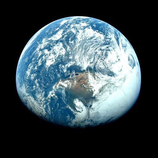
View satellite images and time-lapse overlays
View satellite imagery and time-lapse data to analyze features. Compare images using an A/B slider. Visualize environmental data like air pollution, vegetation, and sea ice. Explore unfiltered satellite views from the ESA’s Sentinel-2 satellites.
by Rayner Software★ 4.657 ratingsTravelFreeData updated 2026-09-29
Navigate trails with detailed maps of 365+ systems and mud parks. View satellite imagery and add custom markers. Search for trails, cities, and points of interest. Record and share rides. Import trails in .kml, .kmz, and .geojson formats.
Record and submit Bigfoot sightings with location, date, and description. View maps showing reported sightings. Filter by date and location. Share findings with the research community.
The app provides worldwide marine and outdoor maps, including USA marine charts, lake maps, and parks. Users can download charts for offline use, overlay satellite and terrain features, and access interactive weather forecasts.
View current , forecasts, and severe alerts. Access interactive radar maps and detailed insights. Customize themes and add widgets. Track changes with accurate, real-time updates.
Allows users to plan routes for driving, bicycling, or walking. It displays real-time navigation with live traffic updates. Users can find nearby hotels, schools, and hospitals. The calculates distances between locations and shows current map views.
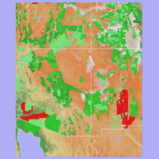
The app provides 3D topographic maps for iPad and iPhone. Vector map data is contained within the app for offline use, supporting navigation in various environments.
View current weather conditions in the Netherlands with live data from KNMI. Access forecasts for today, this evening, and tomorrow. See satellite imagery in visible light and infrared. Explore detailed 5-day forecasts and text updates.