
Weather Alert PUSH
Elecont LLC
Track storms and heatwaves
View real-time alerts for storms, floods, heatwaves, and cold snaps. Access a color-coded radar map to track developing threats. Receive notifications based on your location.
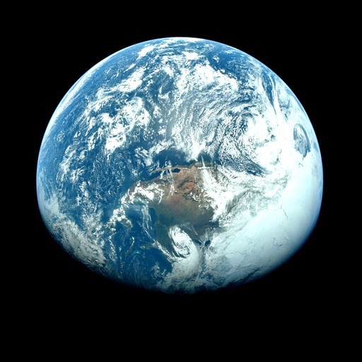
View satellite images and time-lapse overlays
View satellite imagery and time-lapse data to analyze features. Compare images using an A/B slider. Visualize environmental data like air pollution, vegetation, and sea ice. Explore unfiltered satellite views from the ESA’s Sentinel-2 satellites.
Showing 361–380 of 1,000 ranked alternatives.
Elecont LLC
Track storms and heatwaves
View real-time alerts for storms, floods, heatwaves, and cold snaps. Access a color-coded radar map to track developing threats. Receive notifications based on your location.


Sinclair Broadcast Group, Inc
Track , radar, and forecasts
Access real-time data with high-resolution radar and satellite imagery. Track severe trends and view current conditions updated frequently. Save favorite locations and receive hourly forecasts for daily and hourly periods.

Apexads Limited
Check , track , view forecasts
View short-term (24-hour) and long-term (14-day) forecasts for any region. Check for upcoming days with details on air pressure, clouds, wind, rain, snow, fog, visibility, waves, and ocean currents.


修司 Ochi
See atmospheric pollution data easily.
The app displays atmospheric data from nearby measurement stations. Users can register stations, filter for PM 2.5 measurements, and set reminders to check air quality.

E.W. Scripps Company
Track updates and radar alerts
Access real-time data with high-resolution radar and satellite imagery. Track severe trends and view current conditions updated frequently. Save favorite locations and receive GPS-based alerts. Check hourly and daily forecasts from computer models.

San Joaquin Valley Air Pollution Control District
Track air quality in your neighborhoods
Check air quality for your current location and up to 10 custom locations. Receive notifications when air quality changes. View hourly data from the Real-Time Air Advisory Network. Add or remove locations and personalize settings.

WPSD-TV
Track severe weather in real time
Access real-time weather data with high-resolution and satellite imagery. View current conditions and forecasts updated hourly. Add and save favorite locations. Track severe weather movement with future projections.

Resorts Tapped LLC
Track runs, share locations, record trails
View groomed and closed runs with a clear trail map. Share real-time locations with friends and track their positions. Record runs, log vertical feet and distance, and sync with Apple Health for workout data.

TRIBUNE BROADCASTING COMPANY INC
Track , radar, and forecasts
Access real-time data with high-resolution radar and satellite imagery. View current conditions and forecasts updated hourly. Add and save favorite locations. Use integrated GPS for location-based alerts.

Gray Television Group, Inc.
High resolution weather for iPhone and iPad.
The app provides access to station content for mobile users. It includes 250 meter radar, future radar, high-resolution satellite imagery, and current weather updates.


Gray Television Group, Inc.
Track , radar, and forecasts
View current updates multiple times per hour. Access high-resolution satellite imagery and 250-meter radar. Track severe with future radar predictions. Save favorite locations and use integrated GPS for location awareness.

Weather Pros LLC
Track and alerts in real time
Monitor current conditions with radar, satellite imagery, temperature, and surface wind data on an interactive map. Receive automated alerts for up to eight locations, including your phone's current position.

TRIBUNE BROADCASTING COMPANY INC
High resolution radar and forecasts.
The app provides 250-meter radar with future radar capabilities and high-resolution satellite imagery. It offers current weather updates multiple times per hour, daily and hourly forecasts, and the ability to save locations with GPS integration.

TRIBUNE BROADCASTING COMPANY INC
Radar, forecasts, and severe weather alerts.
The app provides access to station content, 250 meter radar, and future radar. It includes high-resolution satellite imagery, current weather updates, and daily/hourly forecasts.

Elecont LLC
Track and wind patterns anywhere
View interactive maps with zoom and pan features. Access 10-day forecasts and hourly breakdowns. Track wind, temperature, and precipitation. Plan activities for surfers, hikers, and outdoor enthusiasts.

Best Search Infobrokerage, Inc
Worldwide weather details at fingertips.
The app provides worldwide weather details, including wind, precipitation, and wave data. It offers forecasts up to 16 days and can be used offline, with GRIB files downloadable via various connections.

Apps are ranked by functional similarity, category fit, rating confidence, and popularity.