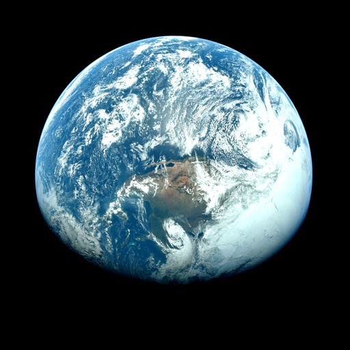
Apps Like Orbiter - Earth Visualizer for iPhone and iPad
View satellite images and time-lapse overlays
View satellite imagery and time-lapse data to analyze features. Compare images using an A/B slider. Visualize environmental data like air pollution, vegetation, and sea ice. Explore unfiltered satellite views from the ESA’s Sentinel-2 satellites.
by Rayner Software★ 4.657 ratingsTravelFreeData updated 2026-09-29
Maricopa County air quality real-time information.
The app provides real-time air quality information for Maricopa County. It also delivers alerts for High Pollution Advisories, Health Watches, and activity restrictions.
Monitor real-time weather updates, track storms, and view earthquake data globally. Access marine conditions for Atlantic and Pacific oceans. Subscribe to remove ads and get forecasts for tropical cyclones and hurricanes.
Check current conditions and forecasts for your region with real-time updates from meteorologists. Access flash forecasts three times daily, including weekend, traffic, and seasonal predictions.
Track real-time conditions for coastal and water-based activities. View wave heights, wind speeds, and tide schedules. Receive alerts for storms and hazardous . Share current conditions with others.
View a 3D with GPS tracking and real-time compass. Explore locations with media features and video streams. Rotate, zoom, and navigate the Earth. Access location-based content and track movement.
Explore exhibits with detailed descriptions of each hall. Access historical context and information on mammals, birds, reptiles, biodiversity, human origins, and earth science. Navigate offline without internet connection.
Access real-time updates multiple times per hour. View high-resolution radar and satellite imagery. Add and save favorite locations. Get hourly forecasts and severe alerts. Use integrated GPS for location-based reports.
The app provides detailed weather information for north central Alabama. It includes 250 meter radar, future radar, satellite imagery, current weather, and daily/hourly forecasts.
Access real-time data including METAR, TAF, and NOTAM reports for 50,000+ airports. View satellite maps and decoded information. Filter nearby airports by runway length and METAR/VFR availability. Save favorites and organize into groups.
View real-time weather , , and satellite imagery. Check current observations and forecasts. Set location-based alerts. Track storm movements and severe weather patterns. Share weather data with others.
The app provides the latest forecasts and reports on current weather conditions. It includes a 250-meter radar, future radar, and high-resolution satellite imagery.
Real-time 3D maps with GPS navigation. Access HD views for current locations and addresses. Get driving directions and traffic updates. Receive voice-guided routes for navigation. Sync with global earth map for location-based insights.
View global weather data from GRIB files including wind, precipitation, pressure, temperature, waves, and more. Overlay weather information on custom map locations. Watch animated weather maps. Analyze trends and save data for later reference.