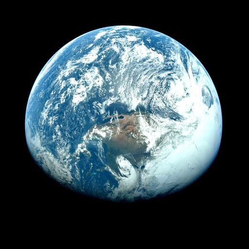
Apps Like Orbiter - Earth Visualizer for iPhone and iPad
View satellite images and time-lapse overlays
View satellite imagery and time-lapse data to analyze features. Compare images using an A/B slider. Visualize environmental data like air pollution, vegetation, and sea ice. Explore unfiltered satellite views from the ESA’s Sentinel-2 satellites.
by Rayner Software★ 4.657 ratingsTravelFreeData updated 2026-09-29
Access real-time data with high-resolution radar and satellite imagery. View current conditions and forecasts updated hourly. Add and save favorite locations. Track severe movement with future radar.
View current , forecasts, and radar images. Customize main screen widgets. Remove ads. Choose color themes. Save up to two locations. Access advanced data. Sync with Apple Watch. Lock locations for privacy.
View current updates multiple times per hour. Access high resolution satellite cloud imagery and 250 meter radar. See future radar for severe movement. Save and add favorite locations.
View current updates multiple times per hour. Access high-resolution satellite cloud images and 250-meter radar with future storm tracking. Add locations for personalized forecasts. Receive detailed hourly and daily predictions from computer models.
Access current updates multiple times per hour. View high-resolution satellite imagery and 250-meter radar. Add and save favorite locations. Receive hourly forecasts and future radar for severe tracking. Use integrated GPS for location awareness.
Access real-time data and satellite imagery from multiple sources including Clear Sky Charts, Clear Outside, Meteoblue, Windy, Astrospheric, and Sat24. View water vapor images and track wind patterns.
Access real-time data with high-resolution radar and satellite imagery. View current conditions and forecasts updated hourly. Add and save locations for quick access. Track severe movement with future radar predictions.
View current weather updates multiple times per hour. Access high-resolution satellite cloud imagery and 250-meter radar. Check daily and hourly forecasts updated hourly. Add and save favorite locations. See future radar for severe weather movement.
Access current updates multiple times per hour. View high-resolution satellite imagery and 250-meter radar. Save favorite locations and receive push alerts. Track hourly and daily forecasts. Use integrated GPS for location awareness.
The app provides weather information for Portland, Oregon and SW Washington. It features high-resolution radar, satellite imagery, future radar, and current weather updates.
View real-time radar and satellite imagery for tracking. Access color-coded alerts by severity. Use GPS for location-based forecasts. See road conditions with the Road Index. Display maps in vertical or horizontal format with looping.
View current updates multiple times per hour. Access high-resolution satellite imagery and 250-meter radar. Track severe with future radar projections. Add and save favorite locations. Use integrated GPS for location-based forecasts.
The app provides access to station content for mobile users. It includes 250-meter radar, future radar, satellite imagery, and current weather updates.
Access real-time data with high-resolution radar and satellite imagery. View current conditions and forecasts updated hourly. Add and save favorite locations for quick access. Track severe movement with future radar predictions.
Capture photos with GPS, date, and time tags. View live cameras from various locations. Explore 360-degree panoramic images. Navigate using an interactive 3D Earth map. Check real-time traffic and travel updates.
Access real-time weather updates multiple times per hour. View high-resolution radar and satellite imagery. Add and save favorite locations. Get daily and hourly forecasts updated hourly. Use integrated GPS for current location data.
The app provides access to station content and a 250-meter radar with future radar capabilities. It includes high-resolution satellite imagery, current weather updates, and daily and hourly forecasts.