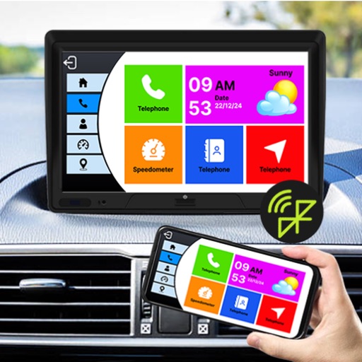
Display speed limits and alert for overspeeding. Show speed camera locations and distance. Provide average and maximum speed tracking. Include odometer and unit selection for KMH/MPH. Display current road name, weather conditions, and temperature.
by MATRIKS GRUP, TOV★ 4.4196 ratingsNavigationFreeData updated 2026-09-29
Display custom messages with 5 user-defined entries and 35 symbol characters. Show date and time in 3 formats each. Display tweets from 3 feeds and music details. Adjust scroll and blink speed. Enable landscape-only, upside-down, or mirrored display.
Track real-time updates, road closures, and restrictions for Sierra Nevada ski resort routes. Navigate mountain roads with detailed maps, view weather conditions, and receive alerts for changing conditions.
Track , route, and trip statistics with real-time GPS data. Monitor distance and performance metrics during drives. Record detailed travel history with precise location tracking.
Display real-time with accurate GPS tracking. Switch between km/h and mph. Receive speeding warnings and monitor 0-100 acceleration. Enable HUD mode to project onto the windshield.
Track time, , and distance using GPS. View through analog and digital displays. Monitor travel data with precise GPS tools. No manual setup required. Start tracking instantly upon movement.
The app displays straight-line and driving distances to a destination. Users can set destinations via search or map selection, with real-time distance and direction updates.
Track trips automatically to view time, distance, max and average . Generate shareable images with key stats after each trip. Access detailed driving data including acceleration, braking, cornering, stops, lane changes, and G-force.
Automatically records trips when driving starts, capturing distance, route, speed, and other details. View trip summaries upon arrival. Track personal or business driving data without manual input.