
Apps Like Map Paint for iPhone and iPad
Map Paint screenshots
Ranked alternatives
Showing 101–120 of 1,000 ranked alternatives.

Istanbul Rail Map Lite
Ansgar Vollmer Und Till Knorr
Plan routes, view maps, and track transfers
Navigate public transport with detailed and subway maps. Find routes offline without internet. Plan trips by viewing fastest paths and transfer points. Access station listings for quick navigation.

Flat Earth Pro
Othman Alzahrani
Visualize daylight, sun, and moon positions
View celestial positions including sun and moon overhead locations, daylight coverage, and moon phases. Track rise and set times, parallactic angle, and lunar liberations. Display day and night maps in an azimuthal projection.


Trufi
Trufi Association e.V.
Navigate with route suggestions and public transport
Navigate streets and public transport routes in Cochabamba with full door-to-door guidance. Choose between buses, micros, or trufis. Get multiple route options and search for streets, crossings, or points of interest.

Lambert
Peter Appel
Geological compass for iPhone users.
The app functions as a geological compass for geologists, measuring dip direction and angle of geological strata. It displays real-time device orientation in a stereographic projection and allows data transfer to a computer.

Paris Métro Map
DXB Technologies
Browse maps, switch lines, navigate stations
Browse official subway and train maps with high-quality images. Switch between maps, search for stations by name, and zoom with pinch-to-zoom. Load maps instantly and use multi-tasking to close and reopen the without reloading.

Map the World
Travelzoo Inc.
Explore countries and
Learn country names and locations through interactive jigsaw puzzles. Explore maps of Asia, Australia, Canada, Central America, Europe, Oceania, South America, and U.S. states. Drag and drop pieces to complete each map.

Michigan Offroad Trail Map
Brendan Kirchner
Northern Michigan's Offroad Trail Guide
The app provides a guide to Northern Michigan's 4x4 and snowmobile trails. Trail data is stored on the device, allowing users to view trail and current locations even without cell coverage.


Memory-Map
Memory-Map, Inc.
Navigate with offline maps and GPS
Turn your iPhone or iPad into an outdoor GPS or marine chart plotter. Use detailed Topo maps or NOAA marine charts for navigation. Access maps offline without a network connection. View GPS location without mobile signal.

GPS Map Camera & Video Capture
Khushali Sabhadiya
Photos with location and map data
Take photos and embed GPS location data. Add latitude, longitude, date, and time. Shoot videos and include watermarks. Add altitude and magnitude information. Share location-based content with others.

Map Note -Infinity Size Note-
Naoya Enokida
Map notes
Create mind maps by placing ideas anywhere on an infinite canvas. Connect notes with lines and arrows. Expand pages as needed. Organize thoughts visually without linear constraints. Share or export mind maps directly.

Canada Map Quiz
Peaceful Pencil Ltd., The
Answer questions and track your progress
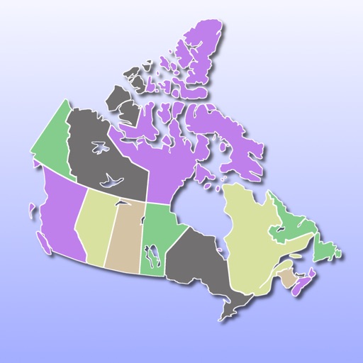
Identify correct answers on scrollable images of . Track progress with a star system and percentage meter. Access answer keys for each mode. Take a final exam combining all modes. nd share report cards. Incorrect answers affect star scores.


London Travel Guide with Map
Jorge Herlein
Navigate augmented reality maps
Navigate using augmented reality for real-time directions. Access offline maps and metro guides for and commuting. Explore interactive points of interest including public transport, dining, and attractions.

Toward
Shota Utsumi
Navigate and track your destination
Navigate to a destination by setting it via map or coordinates. View distance and direction from your current location. Works in airplane mode. Displays large, clear UI for easy reading on water or with device cases. No ads.
How we rank alternatives
Apps are ranked by functional similarity, category fit, rating confidence, and popularity.