Monitor patient acid-base status with interactive graphs showing pH trends and compensation status. Calculate anion gap and A-a difference for detailed analysis. Track changes over time and identify underlying disturbances.
The app measures audio characteristics of a room or loudspeaker by recording an impulse or swept sine. Users can view graphs including Impulse, ETC with RT60 decay cursors, and Schroeder curves with various markers.
Plan and respond to chemical incidents using plume dispersion models integrated with Google Maps. Access real-time meteorological and gas sensor data. View and analyze hazard scenarios with the ALOHA® model.
Manage itineraries by adding and organizing locations, attaching tickets, and inviting travelers. Track spending with a real-time budget calculator. Receive notifications for updates and events. Sync trip details across devices.
Design lenses, simulate optics, control components
Model 2D lenses and mirrors with precise control over shape and placement. Design aspheric surfaces and perform geometric ray tracing. Conduct sequential and non-sequential analysis. Calculate front and back focal lengths and principal surfaces.
Explore movies and TV shows with curated recommendations. Create and share watchlists with friends. Save content to personal lists for easy access. Set reminders for upcoming releases. Sync history across devices.
The app combines mobile device GPS with handheld mapping to plot bearings and determine Crosspoints. It simplifies the tracking process by eliminating manual map handling and plotting intersection points.
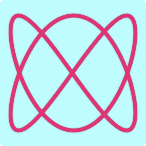
Explore figures by adjusting parameters for two sine waves. Modify frequency, amplitude, and phase for x and y axes. Visualize the resulting patterns in real time. Save and share generated figures.
Solve problems with step-by-step explanations. Generate 2-D and 3-D visualizations. Perform algebra, calculus, and integration calculations. Take a picture of equations for input. Export solutions and graphs.
Measure and areas by drawing paths or closing loops. Switch between metric and imperial units. Undo drawings as needed. View standard or satellite maps. Export measurements as KML files for use in Google Earth and other mapping apps.