Explore using the historic map. View detailed handcrafted graphics and compare with the modern city layout. historical areas and discover landmarks through layered map views. Save favorite locations and access historical context about key sites.
The app displays over 23,000 public toilet locations across Australia. It provides details on accessibility, hours, and features for each facility, aiding those with incontinence, families, and travelers.
Track vehicle locations in real time. Manage fleets across multiple locations. Receive alerts for geofence violations. Lock and unlock vehicles remotely. View fuel levels and trip history. Generate reports and set schedules for maintenance.
FEDERAZIONE CONSORZI DI ZONA DEGLI IMPRENDITORI ESERCENTI TRASPORTO DI PERSONE DOLOMITI SUPERSKI
Track ski performance and manage passes
Manage SmartPass and purchases through a dedicated section. Track and challenge friends with Season 25/26 badges. Receive AI-driven slope recommendations based on skiing data. View family performance stats and lift usage history.
Plan trips using real-time transport schedules and route comparisons. View maps with bus and train stops. Get step-by-step navigation within the city's network. Track vehicle locations and estimated arrival times.
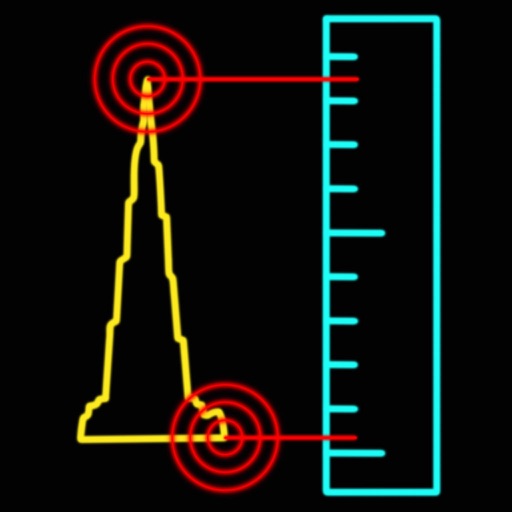
Measure heights of mountains and buildings with ±0.5m accuracy using the device's sensors. View current barometric pressure. Compatible with iPhone 6, iPhone 6 Plus, and iPad Air 2.