Convert property deeds or legal descriptions into plat drawings. Supports feet, meters, and varas. Calculate area, perimeter, and closing error. Auto-complete tracts if the last call is missing. Work with multiple tracks in a single drawing.
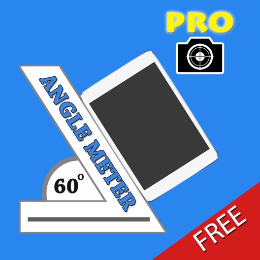
The app measures angles and slopes using two modes. It displays real-time angle values relative to the horizontal axis and supports graphics animation.
Calculate distances and areas using GPS. route lengths and track movement. Access GPS Camera, Compass, and Speedometer for navigation. View Satellite, Normal, Terrain, and Hybrid maps. Locate nearby points of interest and monitor live positions.
The app uses the iPhone's accelerometer to detect the device's roll and pitch. It displays the level using a traditional water bubble and measures angles, with a light blink and sound when level.
Measure distances, angles, and colors on any screen. Capture and analyze screen elements for design, development, or navigation tasks. Save and share measurement data directly.
Measure and analyze sound with real-time decibel readings and color-coded safety indicators. Track minimum, maximum, and average levels. Save measurements with location and notes. Receive warnings at dangerous sound levels.
Areas using GPS coordinates or manual input. Calculate land, property, or dimensions. Save and export measurements in various formats. Sync data across devices for accurate tracking.
The app allows users to take wide-angle self-portraits using the iPhone's front camera with a full-screen preview. It can combine four photos into one and offers options for single shots or timed intervals between photos.