
Apps Like Handy Angle for iPhone and iPad
Handy Angle screenshots
Ranked alternatives
Showing 521–540 of 1,000 ranked alternatives.

OrthoGraph – Floor Plan
OrthoGraph Szamitastechnikai Fejleszto Korlatolt Felelossegu Tarsasag

M2 AR Measure App
Measure Square Corp.
Create floorplans and send them
Create floorplans using AR by calibrating the camera and marking room corners. dimensions and visualize layouts. Export plans and share with contractors or save for personal use.
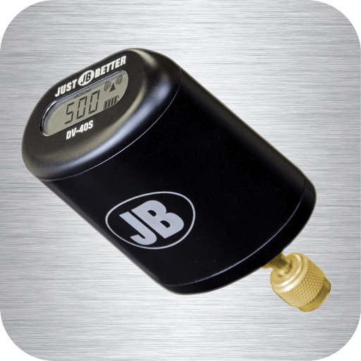
DV-40S
JB Industries, Inc.
Monitor vacuum levels and set alarms
Monitor vacuum pressure with real-time measurements and unit selection. Set alarms and customize themes. Track job time with timers. Log data and export logs via email.

测量工具Pro-专业测量尺子
飞剑 姚
Measure length, track noise levels
Measure lengths with a ruler supporting metric and inch units. Detect ambient noise levels using a decibel meter. Use a protractor tool to measure angles via camera. Calibrate and view objects for precise measurements.


Scale for grams: Measure AI
Challa Somesh
Objects, identify items, explore surroundings
Objects using camera-based dimensions. Identify items through image recognition. Explore surroundings with augmented reality features. Save and share measurement data.


ULTRAPEN™ PTBTx™
Myron L company
Measure and store water quality data.
The app converts an iOS device into a measurement and data storage tool when paired with a first-generation ULTRAPEN pocket tester. It offers wireless communication, an intuitive interface for measurements, and data export capabilities.
PROtractor – the angle tool for every carpenter, joiner und craftsman
Raphael Lang, Patrick M�ller

AR Ruler HD Mirror Flashlight
永刚 陈
Measure with AR and track distances
Use AR for length and distance measurements. Measure height with AR technology. Check decibels, angles, and level accuracy. View HD and compass directions. Monitor barometric pressure and altitude. Use with adjustable brightness and strobe.

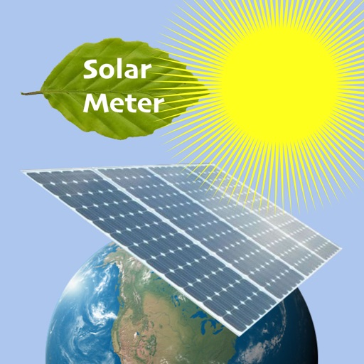
SolarMeter sun energy planner
VisTech.Projects LLC
Calculate solar power and output
Calculate solar power and output for a specific location. Visualize sunlight availability with maps and graphs. Estimate production based on panel size and location. Track daily and monthly solar potential. Share results and compare locations.

3D Mappa - GIS & Topo Analysis
Andres Narvaez
Visualize terrain, analyze elevation, export data
Visualize elevation, slope, and contours in 3D. Export data to DXF, SHP, CSV, OBJ, glTIF, and STL. Analyze terrain features and integrate with AutoCAD and GIS software. Perform quick data exports and simplify complex GIS tasks.

Card Centering Tool :Grader AI
faisal khalid
Measure instantly
Measure with precise tools to ensure accurate grading. Compare alignment to PSA, BGS, CGC, SGC, TAG, and ACE standards. Adjust and save positions for consistent evaluation. Export measurements and track grading progress.


How we rank alternatives
Apps are ranked by functional similarity, category fit, rating confidence, and popularity.