View current location details including latitude, longitude, altitude, and address in Decimal or DMS format. Track trip data such as distance, speed, and maximum speed. Save location and trip information for later review.
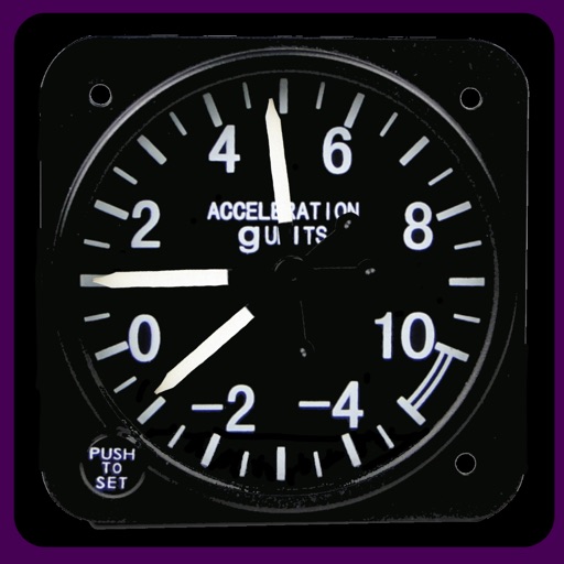
Measure acceleration, orientation, and motion with built-in sensors. Record and analyze real-time data for experiments. Detect and generate sound tones. Visualize audio waveforms. Export measurements and graphs for scientific use.
Check transit card balance and transaction history using NFC. View station names and monthly discount progress. Display bus route numbers. Save history and add comments. Sync data to iCloud. Supports Beijing Hutong Ca.
Calculate fitness assessment scores with customizable components and altitude adjustments. View overall and individual component scores. Determine optimal component combinations for maximum scores.
Track assignments, calculate grades, set reminders
Manage semesters and classes with time schedules and room locations. Add assignments and exams. Set automatic reminders for upcoming homework. Calculate grades and GPA. Sync data online across devices. Track progress and view detailed reports.
GPS-based digital displays current speed during driving, flying, cycling, or boating. Shows head-up display mode on car dashboard. Displays maximum speed limit and road name. Includes linear compass for direction.
Measure levels in lux, foot-candle, or color temperature (CCT) in Kelvin. Use the device's camera as a sensor. View readings in real time. Save and share measurements. No ads. Simple and accurate interface.
View current speed with a scalable . Track total distance and trip data including max and average speed. Export trip data as GPX, CSV, or KML files. Receive alerts when speed exceeds or falls below set limits.
Customize a duck character with various outfits. Rotate the duck 360° for positioning. Track with a spinning propeller that reacts to real-time GPS data. Activate Night Mode for reduced eye strain during nighttime driving.
Measures environmental noise and displays decibel values in real time. Shows current noise reference and min/avg/max dB levels. Displays dB as a gauge and graph line. Saves measured records for later review.
Displays altitude and vertical speed using filtered GPS data and a Kalman Filter for smooth readings. Tracks changes in altitude to calculate vertical speed in knots. Provides pilots with clear, responsive variometer data for flight monitoring.