Capture GNSS data measurements using compatible third-party hardware on iPhone or iPad. Switch between utility line types, record geographic locational data, and log attribute information such as line details and maintenance history.
Track vehicles and cargo in real time with map-based location updates. View historical movement data and playback records. Receive alarm notifications for unauthorized activity. Access a business dashboard for fleet analytics and cost management.
Manage vehicle operations with real-time GPS tracking, live video feed, and detailed reports on idle time, speed limits, and start/stop events. Monitor fleet performance, set state line alerts, and generate comprehensive vehicle analytics.
Navigation "Display current location and direction. Find nearby metro or Cycle Hire stations. Store and return to saved positions. Locate restaurants, bars, and museums. Provide maps and navigation guidance."
Navigation helps users locate nearby metro stations or vélib bike stations. Store current position for later return. Find restaurants, bars, or museums in the area. Determine direction and orientation. Identify landmarks and points of interest.
Add time stamps, GPS coordinates, and exact addresses to photos and videos instantly. Enable grid, aspect ratio, switch, flash, focus, and timer settings. Store user locations automatically and reverse-geotag addresses.
The app records and exports user trips for geo-tagging or trip management. It displays live paths on a map and provides details like speed, distance, and altitude.
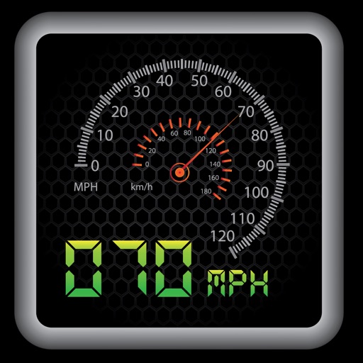
The app provides a heads-up display for a car, offering GPS-based speed information with MPH and KPH options. It includes digital and standard font modes, 12 and 24-hour clock options, and portrait and landscape orientations.