Check conditions and road closures with real-time updates from Caltrans. Filter by district or county. View two-column layouts for quick road condition checks. Access travel alerts and incident reports before driving.
The app records HD video with an animated graphical overlay. It transforms the iPhone into an action camera, combining videos with telemetry data like speed, altitude, and heart rate.
Helps landscape photographers calculate settings. It includes magic hours, sunrise and sunset times, and sun direction. Users input shooting parameters to determine optimal settings.
Add and stamps to from the gallery. Include date and time stamps, customized signatures, GPS geolocation tags, and logo watermarks. Adjust position, size, and color. Apply stamps in various font formats.
Control a four-axis drone via iOS device. View real-time video feed from the drone using WiFi. Capture photos and videos directly from the mobile phone.
Measure altitude, latitude, and longitude in real time. Display current direction using a compass. Show location with map-based coordinates and address. Share photos with altitude data on social networks.
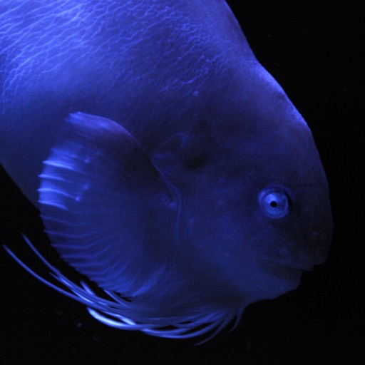
This app presents photographs of fish from Aquamarine Fukushima. It includes a slideshow with adjustable intervals, clock display, timer, alarm, and fish name display.