Log drone flights directly from the without additional equipment. Track weather and temperature in Kelvin. Manage multiple drones in a fleet. Review records with location and crew details.
Record location data including latitude, longitude, altitude, speed, and distance. Save logs in CSV, KML, GPX, TCX, FITLOG, and NMEA formats. Use Apple or Google maps. Enable background logging. Share files via AirDrop. Upload to iCloud Drive.
Add using current location or search. Create routes with step-by-step navigation. Save notes and photos for each location. Share locations with others. Track visited and plan future trips. Sync across devices.
Convert documents from paper to digital using camera or photo library. Auto-detect document edges for accurate scanning. Extract with OCR for English, German, Italian, French, and Spanish. Export as PDF or files.
Displays drone location with altitude, yaw, pitch, and battery status. Connects via WiFi, Bluetooth Low Energy, or Cellular. Supports ArduCopter, ArduPlane, and ArduRover via MAVLink. Tracks flight data and allows remote control.
Import photos and videos from the past X hours. Transfer multiple files via AirDrop without using cellular data. Convert HEIC images to JPEG for better compatibility. Compress files into a .zip archive. files directly from the .
Create and edit electronic logs to comply with HOS and DOT regulations. nd manage DVIRs for vehicle inspections. Access multilingual support for drivers and fleet managers. Track hours of service and ensure compliance with FMCSA guidelines.
Offers satellite GPS course maps for any course. Users can pinpoint targets and view distances in meters or yards. Pinch to zoom and pan the map. Adjust club selection based on displayed distances.
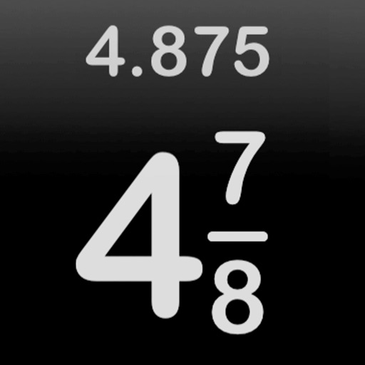
Perform arithmetic operations with fractions, including addition, subtraction, multiplication, and division. Convert between improper fractions and mixed numbers. Adjust denominators and simplify results.
Logs acceleration, gyroscope, and magnetic field data simultaneously. data as CSV. Enable real-time visualization for live data viewing or disable for higher accuracy. Adjust sampling rate based on hardware capabilities.
Scan documents, extract data, create PDFs, organize
Scan documents and business cards to create PDFs. Extract contact information automatically. Organize files using folders and tags. Edit, sign, and send scanned documents. Manage and store digital files in a personal library.
Measure and areas by drawing paths or closing loops. Switch between metric and imperial units. Undo drawings as needed. View standard or satellite maps. Export measurements as KML files for use in Google Earth and other mapping apps.
And in formats like VCF, CSV, PDF, and JSON. Backup entire address books or share specific . Process data locally to ensure privacy and avoid cloud syncing.