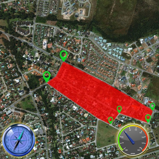
The app records vehicle travel data, displaying real-time measurements like speed, distance, and altitude. It offers features such as trip recording, customizable themes, speed limit alerts, and HUD mode.
The app offers a global trail database with route suggestions for various outdoor activities. Users can plan, record, and share routes, with features like navigation and real-time location sharing for safety.
The app provides subway and tram maps for navigating Amsterdam. It includes a route planner with travel time and distance, a trip cost calculator, and real-time airport updates.
The app logs real-time location data at user-defined intervals. Journey information displays on a map or through a CSV and GPX viewer, with routes exportable via email and clipboard.
Record travels with GPS-enabled devices. Display maps in four modes. Track speed, altitude, and visit frequency. Highlight favorite locations and revisit them. Check walking routes and climbing challenges. Monitor travel history and landmark visits.
Plan trips by creating, editing, and organizing itineraries with a map-based interface. Add attractions, restaurants, and activities to a day-by-day schedule. View map and list views simultaneously. Automatically optimize routes for efficient .
IIC Innovative International Consulting GmbH & Co. KG
Save locations with GPS coordinates
Save locations with GPS coordinates, add notes, images, and contact details. Store privately and automatically retrieve web data. Create entries by selecting current location or entering coordinates.
Record outdoor activities with topographic maps, waypoints, and elevation tracking. Log mileage, speed, time, and moving averages. Set breaks and receive audio alerts for splits and off-trail notifications. Import GPX files and auto-follow last .
Plan routes between highways, state, and provincial roads. Display directions with closed road alerts. View total distance and travel time. Access real-time traffic information. Receive road condition updates along the route.