Control the via Wi-Fi with FPV support for real-time video and clear photo display. Enable GPS positioning and smartphone following flight. Record and view videos and photos from the drone.
by HOLY STONE TECHNOLOGY Co.,Ltd.★ 3.559 ratingsEntertainmentFreeData updated 2026-09-25
Capture real-time video via . Take snapshots, record videos, and browse files. Access 3D views for enhanced perspective. Share content directly from the .
Track with real-time GPS data. Switch between digital and HUD display modes. Set limits and receive alerts. Log trips and view history. Share data via social media.
EXTREMESOFT BILISIM REKLAMCILIK TICARET LIMITED SIRKETI
Play cars, fly planes, and explore freely
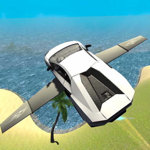
Drive cars and perform stunts in off-road environments. Fly cars as airplanes and navigate through islands and landscapes. Explore open-world settings and customize paths. Complete challenges to test and piloting skills.
View VATSIM network data including pilots, controllers, and airports. Track users and friends. Display flight routes and weather information. Access event details and member certificates. Support dark mode with no ads.
Take time-lapse photos with adjustable interval settings. Create movies from captured images. Store photos directly in the . Export videos in sideways orientation. Adjust settings for photo and video capture.
Manage paths to avoid collisions and guide planes to their destinations. Draw routes, upgrade airports, and purchase new aircraft. Track progress through increasing difficulty levels and manage resources to expand your fleet.
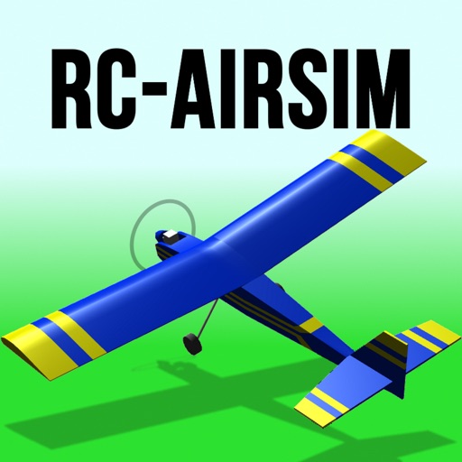
Learn to fly remote-controlled model airplanes with realistic flight controls and physics. Practice in a safe environment with crash-free simulations. Adjust settings for different aircraft and control modes.
Play car with realistic driving and flight mechanics. Control vehicles on roads and in the air. Customize cars with upgrades. Compete in challenges and unlock new vehicles. Track progress and improve skills.
Determine location using GPS and MGRS coordinates. Display latitude, longitude, and altitude. Show 16 main directions. Operate offline. Suitable for camping and outdoor navigation.
Monitor and control camera settings remotely via smartphone. View live preview from compatible camera. Upload photos and videos to social media platforms. Adjust focus, exposure, and other shooting parameters.
Transmit and control drones via Wi-Fi. Take photos and videos remotely. Adjust drone movement in real time. View live feed and manage flight settings. Save media files directly to device.
Access aviation and navigation data for flight simulation. View Jeppesen and IFR coverage at airports worldwide. Download and manage for use in simulated flights. Sync with flight simulation software for real-time data.