Virtual VOR-DME
Gev Simon
Cast VOR signals and track direction
Cast VOR signals to any location for navigation. Display and ADF indicators. Adjust course and track bearings. Sync with avionics systems for real-time flight data.

Showing 1–20 of 1,000 ranked alternatives.
Gev Simon
Cast VOR signals and track direction
Cast VOR signals to any location for navigation. Display and ADF indicators. Adjust course and track bearings. Sync with avionics systems for real-time flight data.



ahmet Baydas
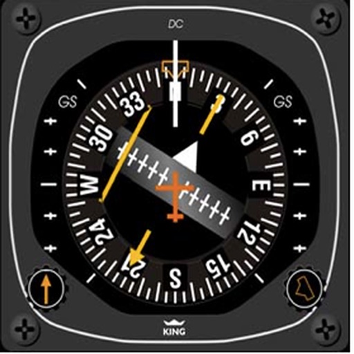
Test systems with quizzes
Test knowledge of systems with multiple choice quizzes on ADF, VOR, DME, NDB, HSI, and RMI. Practice positioning, holding patterns, and standard procedures. Track progress and reinforce understanding of instrument flight techniques.

GlassWave LLC
Your location and share it
Navigate with real-time location details including , coordinates, speed, altitude, and compass. View an orientation-focused map that expands to full screen. Tap and hold to search for addresses or coordinates. Share location instantly via tap.


Darren Yeates
Tune radios and view
Access real-time data and control virtual . Tune global aviation radios or create custom radio aids. Practice navigation techniques and use as a training tool or supplementary instrument during flights.

Laurie Davis
Instrument training for general aviation pilots.
The app provides instrument training for general aviation pilots. Users can manipulate map elements and observe instrument responses in Learn mode, or determine aircraft location based on instruments in Test mode.

David Morneault
Track routes, save waypoints, navigate outdoors
Track outdoor activities like hiking, biking, walking, and running with GPS. Save and navigate to waypoints. Store favorite destinations. View activity logs and maps. Share routes and track progress.
VersaEdge Software, LLC
Look up and map locations
Look up with detailed state, city, and county information. View population data and locate zip code center points on maps. Find nearby , search by city, and access data without internet.

Karsten Heiland
Practice VOR and NDB navigation procedures
Track VOR and NDB signals in real time. Practice holding patterns and radial interceptions. Simulate check rides and sim assessments. Adjust needle movements and receive feedback. View flight path and navigation data.


FLEMINGER MEDIA LLC
Practice IFR navigation with VOR simulations
Practice IFR flight training with simulations of VOR, HSI, RMI, ADF, DME, and ILS navigation. Track instrument readings, adjust settings, and test navigation skills. Save progress and review performance metrics.

LW Brands, LLC
Download and view weather
View and download NOAA electronic navigational for offline use. Access in NOAA or ECDIS formats. Overlay NOAA weather for real-time conditions. Display buoys, beacons, lights, and natural/man-made features. Track radar and fog signals.

Sporty's Pilot Shop
Calculate data and track position
Calculate -related conversions, fuel consumption, and navigation metrics. Perform arithmetic operations and unit conversions. Track time, distance, and speed. Sync with Apple Watch for real-time updates.

Mapway Inc.
Navigate subways with real-time route planning
Navigate New system with official MTA maps covering all five boroughs. Plan transit routes to find the path between locations. Use the offline for navigation without an internet connection.

Atlas Guides DE, Inc.
Explore trails, rivers, and routes with precision
Navigate with data for hiking, biking, whitewater rafting, and paddling. Check in at waypoints to log progress. Access detailed and route guidance. Share locations with others in real time.

Apps are ranked by functional similarity, category fit, rating confidence, and popularity.