The app provides global exploration with features like immersive Street View, worldwide hiking trails, and multi-engine maps. It includes a smart route planner, pro-grade data, offline map capabilities, and an exploration archive for saving journeys.
Track live flights with real-time aircraft movement on a high-precision map. View detailed plane information, follow arrivals and departures at airports, and receive instant flight-status updates.
Track sunrise, sunset, and daylight duration. View civil and nautical dawn and dusk times. Receive notifications for solar and lunar events. Locate the sun and moon on a map. Set reminders for specific times.
Calculate time dilation effects using relativity principles. Input travel speed and compare aging between twins. Explore gravity's impact on time with altitude adjustments. Visualize effects through scenario examples.
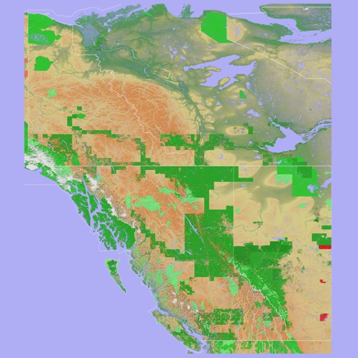
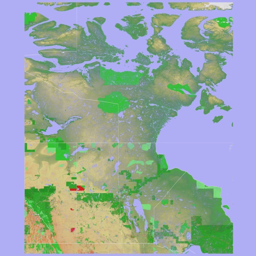
The app provides a 3D topographical map of Western Canada. Map data downloads to the device for use without an internet connection, allowing users to view terrain features as small as ten meters.
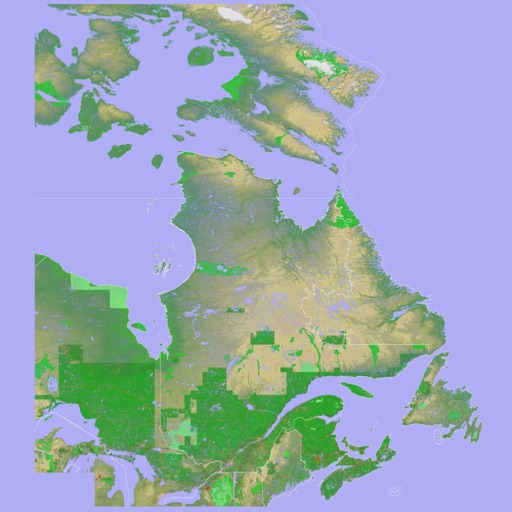
The app presents a 3D topographic map of Eastern Canada. Users can download map data for use without an internet connection, suitable for various travel methods.