ToTarget app icon

Apps Like ToTarget for iPhone and iPad

by ShenZhen Totarget Technology Co., Ltd★ 0.00 ratingsNavigationFreeData updated 2026-09-25

ToTarget screenshots

Ranked alternatives

Showing 81–100 of 1,000 ranked alternatives.

  1. NOAA Buoy Reports & Ship Data app icon

    NOAA Buoy Reports & Ship Data

    Juggernaut Technology, Inc.

    View data and track storm locations

    View real-time data including wave heights, wind speeds, and directions. Access ship observations and camera feeds. Locate tropical storms and set favorite locations for quick access. Retrieve historical data up to 45 days with an upgrade.

    ★ 4.72,428 ratingsWeatherFreeData updated 2026-09-10
  1. Lot Tracker app icon

    Lot Tracker

    GORDON HOWARD ASSOCIATES, INC.

    Track vehicles with GPS and maps

    Track vehicle locations using GPS. View past location history on maps. Search by vehicle make, model, stock number, or VIN. Save individual vehicle details for easy access.

    ★ 4.8200 ratingsNavigationFreeData updated 2026-09-09
  2. Trip Tracker - Track Trips app icon

    Trip Tracker - Track Trips

    David Jonsen

    Speed, location, and logs

    Displays speed in knots, km/h, mph, or m/s. Shows current coordinates and altitude. Switch units easily. routes and save with position, distance, and speed data. Logs stored as GeoRSS in iCloud for cross-device access.

    ★ 4.52 ratingsNavigationFreeData updated 2026-09-06
  3. Toyota Supra Connect app icon

    Toyota Supra Connect

    BMW NORTH AMERICA, LLC

    Lock and control your remotely

    Lock or unlock the and control climate settings remotely. Send destinations to the in-car navigation system. Locate the vehicle to find its parking spot. Schedule trips and search for nearby parking options.

    ★ 4.41,114 ratingsLifestyleFreeData updated 2026-09-17
  4. Aircraft Heading app icon

    Aircraft Heading

    Sean Flanagan

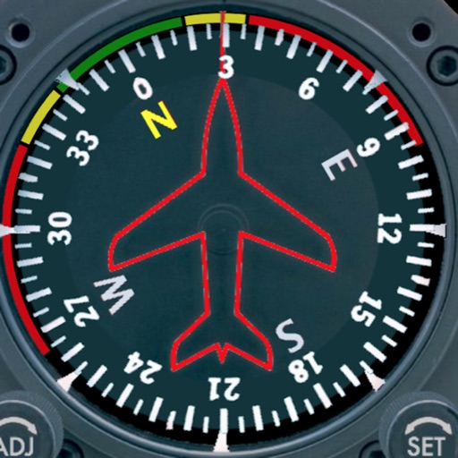
    Track with realistic indicator

    Displays a photorealistic -style indicator with both analog and digital readouts. Users can toggle rotation lock, simulate the instrument indoors, and view improved graphics. Supports latest iOS versions and includes bug fixes.

    ★ 2.212 ratingsNavigation$0.99Data updated 2026-10-25
  5. رحَّال | Rahhal app icon

    رحَّال | Rahhal

    Abdullah Alhaider

    Track trails, navigate dunes, map routes

    Track trails with precise GPS mapping and save waypoints. Measure distances and elevation changes. Share routes and view real-time navigation updates. Sync with other devices for collaborative exploration.

    ★ 4.892 ratingsNavigationFreeData updated 2026-09-06
  6. Yi Tracker2 app icon

    Yi Tracker2

    Shenzhen Yi Wen Technology Co., Ltd.

    ★ 3.85 ratingsNavigationFreeData updated 2026-09-11
  7. River Thames Guide Lite app icon

    River Thames Guide Lite

    Jeff Maynard

    Planner and guide for River Thames.

    The app provides a planner and guide for the River Thames and Wey Navigation. It includes an interactive map, journey planner, lock and bridge details, weather, and river conditions.

    ★ 0.00 ratingsNavigationFreeData updated 2026-10-24
  8. BE Smart app icon

    BE Smart

    Apollo RES Holdings Ltd

    Connect to your EV charger remotely

    Monitor charging status, current, voltage, and power in real time. Control the EV charger remotely via Bluetooth or Wi-Fi. Connect using a QR code or serial number. Set charging parameters and view detailed charging information.

    ★ 0.00 ratingsNavigationFreeData updated 2026-09-06
  9. VIAVI OSPREY app icon

    VIAVI OSPREY

    Viavi Solutions, Inc.

    Simulate routes and waypoints

    Create static waypoints and dynamic routes for avionics testing. Simulate GPS signals for receiver validation. Upload daily almanac data automatically. Support single or dual GPS antenna setups. Configure up to 10 channels.

    ★ 5.01 ratingsBusinessFreeData updated 2026-09-06
  10. NYC Precinct Map app icon

    NYC Precinct Map

    JC Accounting & Innovative Technologies, Inc

    Know your location and boundaries

    Displays real-time location and current /sector boundaries. Shows crime/incident data and sector maps. Includes satellite and street view layers. Provides quick access to contact info and navigation tools.

    ★ 4.91,244 ratingsNavigationFreeData updated 2026-09-17
  11. Anchor Pro app icon

    Anchor Pro

    IdeaBoys GmbH

    Set location with bearing and distance

    Set location during or after installation using distance and bearing. Define allowed area as a circle or custom shape with angles and distances. Monitor movement and receive alerts when boundaries are exceeded.

    ★ 4.83,566 ratingsUtilitiesFreeData updated 2026-09-16

How we rank alternatives

Apps are ranked by functional similarity, category fit, rating confidence, and popularity.