Access educational resources and share learning achievements. Track progress with personalized recommendations. Collaborate with peers and teachers through interactive lessons and assignments. Receive tailored content based on learning needs.
Michigan State University Resource Center for Persons with Disabilities
Navigate campus with step-by-step directions
Provide real-time location-based information about campus landmarks. Navigate using interactive maps and audio descriptions. Access accessibility features for visual, spatial, and mobility disabilities. Share location data with others.
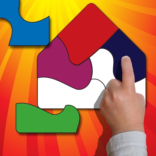
The app educates and entertains with easy-to-move shapes that snap into place on silhouette puzzles. It encourages cognitive thinking and fine motor skills while exposing young minds to new instruments, animals, produce, objects, and the alphabet.
The app accesses soil survey information at the user's current location. It provides soil profile sketches, estimated proportions, geomorphic position, and map unit aggregate data.
Explore sites in Portsmouth, Ohio, and the Appalachian region through interactive maps. View detailed information about each location, including historic images and archival content.
Explore interactive challenge cards covering topics like farms, cities, and deserts. Learn concepts and vocabulary through engaging activities. Aligns with NGSS and Common Core standards. Track progress and complete challenges to reinforce learning.