View live radar and historical images. Track clouds, dust, and fog from satellite data. Monitor lightning activity. Access precipitation forecasts for hours and days from multiple models. Overlay forecasts on . Share weather data with others.
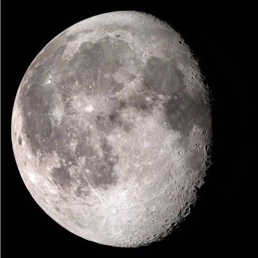
Track and , twilight periods, and UV index for any location. View first and last light . Monitor daylength and differences. Display sun position with azimuth, altitude, sidereal time, right ascension, declination, and distance to .
The app provides tide graphs for approximately 340 locations in Japan. It offers forecast data for marine sports, including tide times, moon phases, and sunrise/sunset information.
Monitor earthquakes with real-time global tracking and push . View live maps showing seismic activity. Search historical data. Customize alert settings for personalized notifications.
Track hurricanes, cyclones, and tropical storms with interactive maps and real-time updates. View NOAA forecasts, satellite imagery, and historic storm data from 1851. Set weather alerts and receive storm warnings directly.
The app provides local weather information for the United States and its territories. It includes a radar view, hourly forecasts, and a 7-day outlook with detailed weather charts.
The app provides weather forecasts and severe weather warnings for Switzerland and Liechtenstein. It includes interactive maps, webcams, and information on temperature, precipitation, and wind.
View live tide levels from 400 sensors and NOAA stations updated every 6 minutes. Check tidal predictions and weather forecasts for US and Pacific locations. See high and low tides at a glance with graphs comparing live data to predictions.
Track real-time conditions for coastal and water-based activities. View wave heights, wind speeds, and tide schedules. Receive alerts for storms and hazardous . Share current conditions with others.