Anhui Yiyebianzhou Network Information Technology Co., Ltd.
Explore celestial bodies with 3D maps
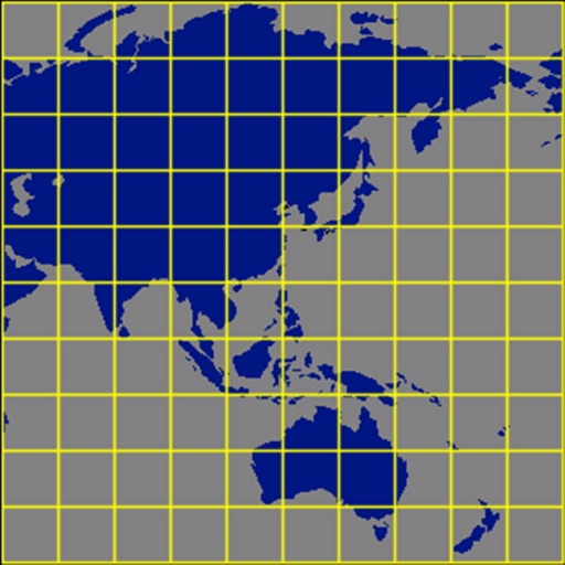
Explore celestial bodies with 3D and historical imagery maps. Measure distances, areas, and altitudes. Plan routes for driving, cycling, or walking. Add points, lines, and text annotations. Import/export KML, KMZ, and SHP files.
Track , distance, and max with a digital . View current city and switch between MPH, KM/H, and knots. Log average and max . Display map view and odometer readings.
Skiing performance with detailed data recording, including altitude and speed. Analyze routes using precise algorithms to evaluate trajectory efficiency. Export and review recorded sessions for improvement.
Explore destinations with local insights and curated experiences. Listen to podcast and masterclasses on music, fashion, food, and history. Discover authentic travel recommendations and immersive storytelling from on-the-ground experts.
The app provides a compass for direction, a map for location and navigation, and an altimeter for measuring height above sea level. It also offers a sharing feature to send current positions with pictures and text to contacts.