Apps Like Transparency Weather for iPhone and iPad
Set theme, view , track forecast
Display real-time , minute-level precipitation, and 24-hour forecasts. Access 5-day data. Use accurate location tracking for street-level precision. Customize themes with personal photos or select high-quality options.
by 经纬 王★ 4.452 ratingsWeatherFreeData updated 2026-09-24
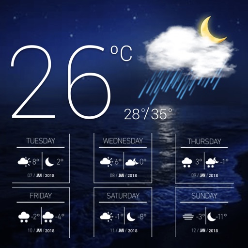
View current conditions and temperature, precipitation, and wind speed graphs for today. Access weekly forecasts and corresponding graphs. Switch between Celsius and Fahrenheit. Choose from five color themes with matching icons.
View real-time radar and satellite imagery for tracking. Access color-coded alerts by severity. Use GPS for location-based forecasts. See road conditions with the Road Index. Display maps in vertical or horizontal format with looping.
Check current with hourly , chance of rain, air quality, and feels like data. View daily for upcoming days with detailed daily views. Receive alerts from global agencies. Search locations on a map for specific details.
View current updates multiple times per hour. Access high-resolution satellite cloud imagery and 250-meter radar. See future radar for severe movement. Obtain daily and hourly forecasts updated hourly.
View current updates multiple times per hour. Access high-resolution satellite imagery and 250-meter radar. Check hourly and daily forecasts from computer models. Add and save favorite locations. Use integrated GPS for location awareness.
View current and forecasted weather worldwide with real-time updates. Check precipitation chances and 24/7 forecasts. Access detailed weather data from multiple sources. Track temperature, humidity, and wind conditions.
Access real-time updates multiple times per hour. View high-resolution radar and satellite imagery. Add and save favorite locations. Use integrated GPS for current location data. Check daily and hourly forecasts from computer models.
View real-time images and current conditions. Track movement, fronts, and storms with zoomable . Forecast for any location worldwide. Display emerging patterns and real-time updates.
Access current updates multiple times per hour. View high-resolution satellite imagery and 250-meter radar. Track severe and forecast changes hourly. Add and save favorite locations. Use integrated GPS for location awareness.
View current updates multiple times per hour. Access high-resolution satellite imagery and 250-meter radar. See future radar for severe direction. Add and save favorite locations. Use integrated GPS for location awareness.
View current updates multiple times per hour. Access high-resolution satellite imagery and 250-meter radar. Track severe with future radar predictions. Save favorite locations and use integrated GPS for location-based forecasts.
View current updates multiple times per hour. Access high resolution satellite imagery and 250 meter radar. Track severe with future radar predictions. Save favorite locations and use integrated GPS for location awareness.
View current updates multiple times per hour. Access high-resolution satellite imagery and 250-meter radar. See future radar for severe direction. Add and save favorite locations. Use integrated GPS for location awareness.
Access real-time data with high-resolution radar and satellite imagery. View current conditions and forecasts updated hourly. Add and save favorite locations. Use integrated GPS for location-based alerts and tracking.
The app provides hour-by-hour and ten-day forecasts. It includes radar with detailed overlays and local weather conditions from the KOMU 8 First Alert Weather team.
View forecasts with a timeline showing clouds, rain, snow, wind, auroras, and rainbows. Check extreme warnings for thunderstorms, fires, hurricanes, flooding, and landslides. Track minute-by-minute precipitation and wind details.
Access current updates multiple times per hour. View high resolution satellite cloud imagery and 250 meter radar. Check daily and hourly forecasts updated hourly. Add and save favorite locations. Track severe with future radar predictions.
Access real-time data with high-resolution radar and satellite imagery. Track severe trends and view current conditions updated frequently. Save favorite locations and use GPS for accurate local forecasts.
Check current conditions, including temperature, precipitation, and wind speed. Access a 16-day for upcoming trends. View live maps for real-time rain tracking. Set location-based alerts for changes. Share updates via social media.