Receive real-time earthquake alerts with customizable filters by continent, country, state, city, and magnitude. View interactive maps showing event locations and magnitudes. Set unlimited push notifications for timely updates.
by Avni Sagiroglu★ 4.62,309 ratingsWeatherFreeData updated 2026-09-23
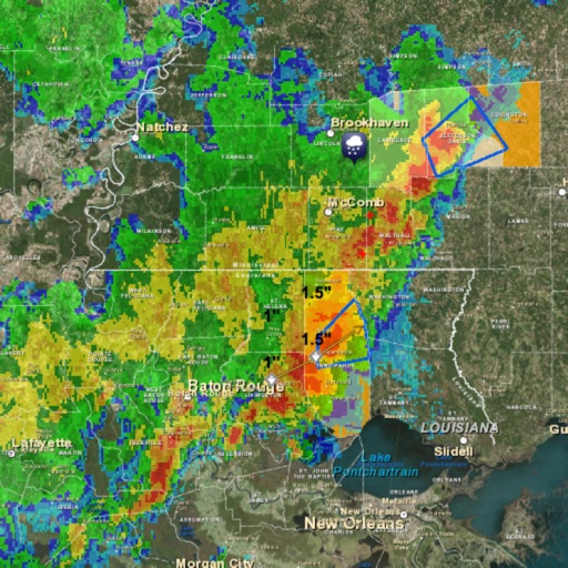
View real-time images for current conditions. Track storm movements and severe alerts. Set location-based notifications. Access detailed forecasts and temperature data. Share updates with others.
Get real-time updates for Bedford, Coffee, Franklin, Grundy, Marshall, and Maury Counties. View radar maps, track storms, and receive severe alerts. Check hourly forecasts, temperature, humidity, and wind conditions.
Explore animated datasets like Saturn’s rings, atmospheric storms, and climate change. Rotate and zoom 3D models. Compare data layers. Save and share visualizations. Learn about environmental processes through interactive imagery.
View real-time alerts for storms, floods, heatwaves, and cold snaps. Access a color-coded radar map to track developing threats. Receive notifications based on your location.
View current , forecasts, and severe alerts. Access interactive radar maps and detailed insights. Customize themes and add widgets. Track changes with accurate, real-time updates.
Monitor real-time tornado reports from users and officials. View radar images of reported sightings. Submit and view user-spotted tornadoes instantly. Receive alerts for nearby severe weather events. Track storm progress with interactive maps.
The app provides daily weather information with a clear home page and changing backgrounds. It offers current conditions, 7-day forecasts, sunrise/sunset times, radar, satellite data, and air quality information.
The app displays Canadian weather radar, satellite imagery, and various charts. Users can view radar animations, select from 31 stations, and animate up to 100 images.
Access real-time data for airports including METAR, TAF, NOTAM, WINDS ALOFT, and forecasts. View ICAO and IATA codes, coordinates, and sunrise/sunset times. Manage favorite airports, search by location or code, and display all airports on a map.