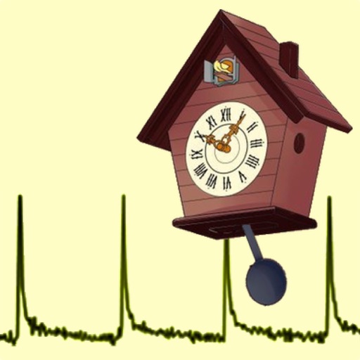
Calibrate and Pendulum clocks by measuring and adjusting their beat period. Sync with a known accurate time source to correct drift. Monitor daily time gain or loss with precision up to 0.001 milliseconds.
Provides access to utility, environmental, and geotechnical data through a GIS platform. Users can view multiple data layers on a single map. Analyze site conditions to reduce project risks and improve planning efficiency.
View energy usage data from dashboards. Monitor electricity, temperature, and environmental metrics. Visualize logs and trends. Connect to servers for real-time updates and historical analysis.