

Apps Like DishPointer (Satellite Finder) for iPhone and iPad
Align dish with AR guidance
Align satellite dishes using augmented reality guidance. Follow step-by-step instructions to position the dish accurately. Utilize accelerometer and magnetometer data for precise alignment without a gyroscope.
DishPointer (Satellite Finder) screenshots
Ranked alternatives
Showing 181–200 of 1,000 ranked alternatives.

Spectrum Compact Simulator
SAF Tehnika AS
Discover handheld microwave spectrum analyzer functions.
The app simulates real microwave radio spectrum data. It demonstrates the functions of a handheld microwave spectrum analyzer for antenna alignment, troubleshooting, and maintenance.

Antenne Veneto
Stefano Caschi
Find nearby cell towers easily.
The app displays the locations of nearby cell phone towers on a map, differentiating them by provider. It also uses augmented reality to help locate the closest towers for improved signal and faster navigation.

Antenne Emilia Romagna
Stefano Caschi
Find nearby cell towers for better signal.
The app displays the locations of nearby cell towers on a map, differentiating them by carrier. It also uses augmented reality to help users find the closest towers for improved signal and faster navigation.

EasyMetro Rome
Matteo Ciannavei
Navigate Rome's metro system easily.
The app provides a map of Rome's metro lines, including satellite mode. Users can get directions to metro stations and explore them with Street View.

Awesomap
Janne Kaki
Zoom in, see more, navigate better
Navigation allows users to view detailed maps with higher resolution and more street names. Display four times more map content on the screen. Includes sharper satellite imagery and points of interest. Adjust map scale for comfort.




IoT Plug and Play
Microsoft Corporation
Send sensor data to Azure IoT cloud
Turn your phone into an IoT device to send sensor data like accelerometer, gyroscope, and magnetometer to Azure IoT. Send and receive commands and device twin updates. Upload media to Azure storage. Connects to Azure IoT Central or Azure IoT Hub.

Military GPS Survival Kit
Tigran Mkhitaryan
Navigate with -grade GPS tools
Navigation provides GPS tracking, map navigation, and route planning. Includes tools, field manuals, and live conflict updates. Users can access guides, track locations, and receive real-time news.


Theodolite for Watch
Craig Hunter
Navigate with AR and map your path
Measure direction and elevation with a digital compass and inclinometer. Access real-time GPS and map data. Navigate using location-based routes. Share coordinates and track movement history.


GPS Speedmeter mph kmh
MATRIKS GRUP, TOV
Track speed and direction offline
Track vehicle speed with a digital speedometer showing current, average, maximum speed, and total distance. Use offline mode for uninterrupted performance. Access two HUD modes for windshield display. Choose from 10 themes for customization.

Digital Angle Finder: 3D Meter
ALEXEY BRILEV
Measure angles with your device
Measure angles between two surfaces using accelerometer and gyroscope. Determine angles between lines on a plane by aligning device edges. Display measurements in degrees. Switch between protractor and finder modes.


Aria The AR Platform
ALKANOIDS SNC DI RAFFAELLA ROCCELLA YUH KUO TAI MANOLO TURRI & C.
Explore AR experiences and interact with digital
Explore augmented reality experiences by scanning targets in real-world environments. Interact with 3D art, view interactive content, and engage with social features. Discover new locations and receive notifications about upcoming targets.
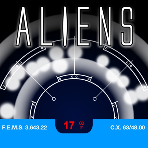
Aliens Motion Tracker
Dizzy Squirrel Limited
Track with alien visuals and sound
Use the device compass and gyroscope to control an alien character on the screen. Tap to place on the scanner. View authentic visuals and sound effects. Act out scenes from classic movies or create original alien encounters.
How we rank alternatives
Apps are ranked by functional similarity, category fit, rating confidence, and popularity.