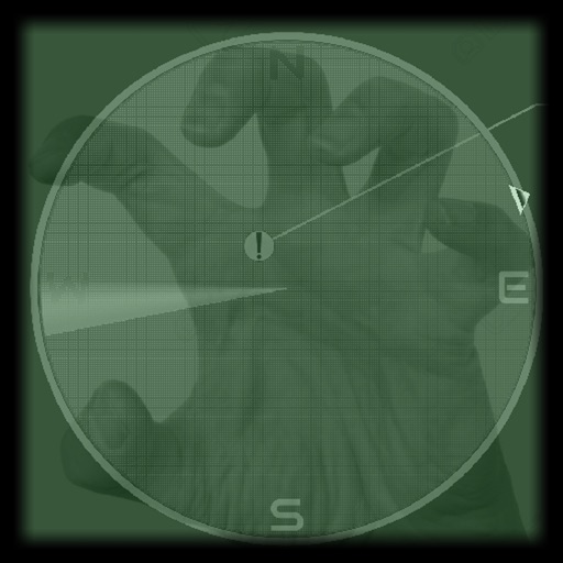
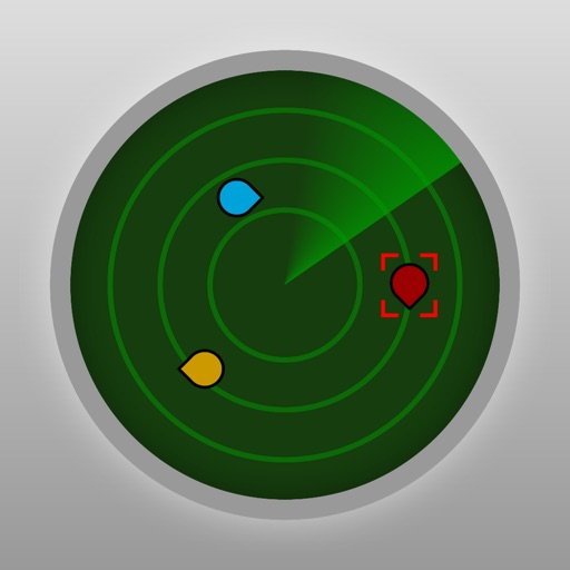
Provides a -time display acting as a compass. It includes a detection sound for alerts and a visual line matching location. Users can scan environments to report position, distance, and strength of paranormal activity up to 7 meters.
From other apps, clipboard, or manual input. Supports multiple link formats. Redirects to Open and other services. Includes Safari Reader mode, 3D Touch Peek & Pop, history, bookmarks, and JSON backup. Imports radars from Open .
Intuitive weather forecasts with gesture interface.
The app offers a gesture-driven dial interface for viewing hourly weather forecasts. It provides a clean and innovative way to check weather, including air quality, UV, and sunrise/sunset times.
Read articles with photos and analysis on aviation, airlines, airports, and regulations. Search for specific routes or topics. Filter content by categories like Latest, Analysis, or Industry Updates.
Questions, track progress, and review explanations
For FAA and PPL or LAPL exams with question banks, explanations, and digital books. Track progress and practice on mobile. Covers aviation weather, aircraft systems, aerodynamics, and air law.
The app displays track, heading, distance, ground speed, time enroute, ETA, and fuel burn on one screen. It includes METAR and TAF weather access and 55,000 airports and navaids offline.
Plan flights with route mapping, fuel calculations, and weather data. Track aircraft in real time. Access offline maps and charts. Set flight parameters and monitor navigation. Share flight data with other .
Detects paranormal activity through device readings. Analyzes data for patterns and alerts when significant changes occur. Includes voice feedback for user guidance. Tracks and displays sensor readings over time.
Track real-time precipitation with a map showing or snow movement. Receive before starts. Save favorite locations for quick weather access. Get minute-by-minute forecasts and updates on weather changes.
The app provides weather forecasts and severe weather warnings for Switzerland and Liechtenstein. It includes interactive maps, webcams, and information on temperature, precipitation, and wind.
Track real-time bus locations and estimated arrival times for transit. Find nearby bus stops and plan trips using -style maps. Receive alerts for schedule changes and service updates.
Determine flight path relative to objects by positioning the sight target on cloud tops, mountain passes, or other aircraft. Receive visual indication of whether the object is higher or lower and the degree difference.