Turn your iPhone or iPad into an outdoor GPS or marine chart plotter. Use detailed Topo maps or NOAA marine charts for navigation. Access maps offline without a network connection. View GPS location without mobile signal.
Track and capture moving targets with real-time ballistic adjustments for density altitude, Coriolis, cant, and slope. Calibrate settings with a tap. Record video and photos. Sync with a heads-up display for precision shooting up to 5000 yards.
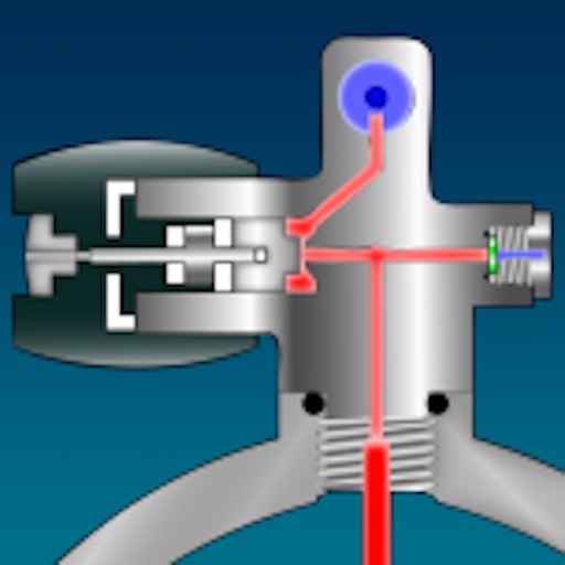
Perform scuba-related calculations for divers of all experience levels. Calculate ATA, SAC/RMV rates, tank volume, and pressure ratings. Convert units as needed. Determine EANx mix, top-up, and bleed-down calculations.
Access top-rated workout plans and log workouts to track progress. Browse a marketplace with plans curated by athletes, featuring interactive exercises and clear demonstrations. Sync workouts and view performance metrics.
Store and access dive logs in the cloud. Share dive sites and observations with other divers. Automatically correct underwater photo colors. Log dives with smart check-in features. Safely save diving history and track progress.
NAVITER - Informacijske tehnologije in druge storitve, d.o.o
Record flights and track your path
Record flight data using Bluetooth-connected instruments. Display live weather and traffic information. Provide guidance for safe landing approaches. Sync with external flight devices for real-time data sharing.
Practice with guided voice instructions and illustrated exercises. Track calorie burn and progress with detailed history. Access 30-day workout plans for weight loss. Sync with Apple Health. No equipment required. Perform poses at home anytime.
The app tracks over 45 sports and fitness activities, recording routes, pace, distance, and elevation gain using GPS. Users can share accomplishments on social media and monitor their progress.