Access aeronautical for 41,000 airports and 10,900 radio navigation aids. View details including name, city, state, and country. Download and view weather, charts, and notams offline after initial online access.
Calculate and oxygen consumption based on altitude. Display ranges as colored rings on an interactive map. Adjust altitude to see updated range projections. Show overlapping airports with sufficient resources for safe landing.
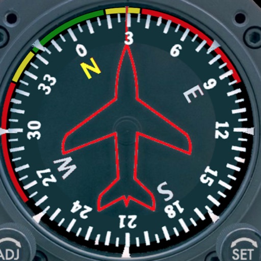
Displays a photorealistic -style indicator with both analog and digital readouts. Users can toggle rotation lock, simulate the instrument indoors, and view improved graphics. Supports latest iOS versions and includes bug fixes.
Calculate aircraft with Camera OCR for gauge readings. Input departure and arrival values for instant totals and comparisons. Set smart reminders and receive notifications for tracking.
Manage aircraft data with real-time tracking of operations, maintenance records, and regulatory compliance. Share updates with stakeholders, monitor manufacturer recommendations, and ensure adherence to safety standards.
Create a realistic flight simulation cockpit with a Boeing-style Flight Management System, Primary Flight Display, and Navigation Display. Connect to flight simulators via local network. Configure displays for different simulators.