
Apps Like Drones-Out for iPhone and iPad
Drones-Out screenshots
Ranked alternatives
Showing 561–580 of 1,000 ranked alternatives.


Tracker for Easyjet
fikret urgan
Track flights, view aircraft, check destinations
Track Airlines flights in real time. View destinations, aircraft models, and flight speeds. Receive notifications about departures and arrivals. Share flight details with friends and family. Set alerts for specific routes or aircraft.

where2fly paragliding
ionesoft GmbH
Paragliding and delta pilot companion app.
The app displays over 15,000 take-off and 4,000 landing sites on an interactive map. It includes public transport data for Switzerland and integrates worldwide webcam feeds for weather observation.

NZ Topo50 North Island
Right Place Resources Limited
Offline maps for New Zealand's North
The app provides offline topographic map coverage of New Zealand's North Island. It includes satellite images, elevation data, and integrated information on land boundaries and trails.





Mobile WAP
Petra Zellweger
Find flying friends and track groups.
The app provides a mobile interface for Where are the Pilots. Users can view the last known positions of friends and observe live tracks of their group.


Scenic Map Grand Canyon
Mark Granger
Explore landscapes in three dimensions.
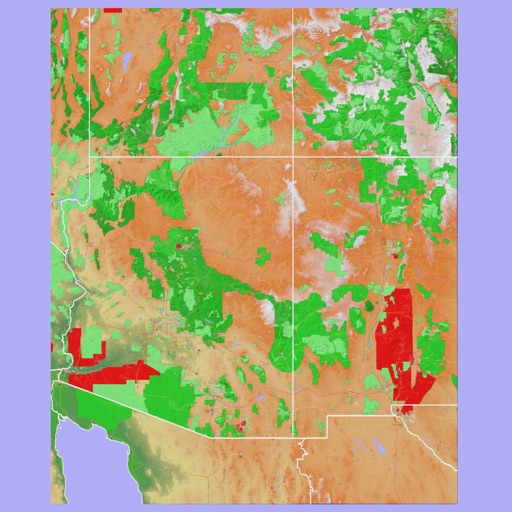
The app provides 3D topographic maps for iPad and iPhone. Vector map data is contained within the app for offline use, supporting navigation in various environments.


E6BJA E6B Flight Computer
Dr. Jamie Alnasir, Ph.D
Practice calculations anytime
Perform aeronautical calculations including wind correction, fuel planning, and time-speed-distance. Input data to compute required values. Access multiple calculation modes and reference charts. Save and review calculation history.

Flight night time
Andrej Hyll
Calculate night flight time offline easily.
This offline application helps pilots calculate night flight time. The app uses algorithms for distance and sunrise/sunset calculations, with adjustable night definitions based on regulations.


Dashometer-Lite
Ian Ray
Track location, speed, and heading in real-time
Navigation displays real-time telemetry data including location, heading, altitude, speed, distance, and elapsed time. Users can customize display modes, units, and configurations by tapping or long-pressing values.
How we rank alternatives
Apps are ranked by functional similarity, category fit, rating confidence, and popularity.