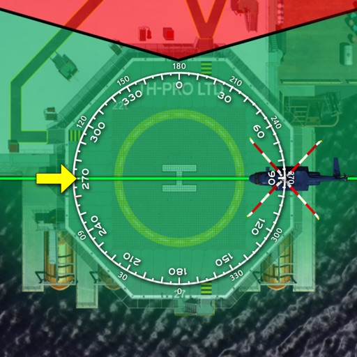
Provides a backup flight display with attitude indicator and heading indicator. Displays critical flight data during instrument failure. Allows pilots to monitor aircraft orientation and direction. Integrates with GPS for accurate navigation.
Navigate waters with preloaded charts for Western, Central, Eastern, and The Lau Group. Access local knowledge, route descriptions, waypoints, and anchorage details. Includes drone footage for visual guidance. No internet required.
Access aeronautical for 41,000 airports and 10,900 radio navigation aids. View details including name, city, state, and country. Download and view weather, charts, and notams offline after initial online access.
Measure land , distance, and perimeter using GPS. Create projects, add team members, and sync measurements in real time. Set permissions for different roles and collaborate on shared projects. Export data and view detailed reports.
Plan and navigate cycling routes with personalized itineraries based on type, speed, and route preference. Access real-time GPS navigation, track statistics, and participate in challenges.
Provides real-time fuel price updates for over 2300 stations in NSW and 60 in ACT. Users can search for the cheapest fuel near their location. They can add preferred stations and addresses.
Track flights with real-time aircraft positioning on an interactive map. View details including airline, number, times, altitude, speed, and heading. Access AI-generated aircraft visuals for realistic representation.
Track flights, view aircraft, and monitor destinations
Track real-time flight data for AIRLINES, including destinations, aircraft models, and flight speeds. View flight paths and radar maps. Receive notifications about departures and arrivals. Explore aircraft details and pilot perspectives.